River Browney facts for kids
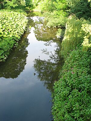
The River Browney is a river in County Durham, England. It is the biggest river that flows into the River Wear.
Contents
Where the River Browney Starts and Flows
The River Browney begins from a spring in Head Plantation. This is on the eastern side of Skaylock Hill, near Waskerley. The spring is about 500 meters (547 yards) from a stream that flows into the River Wear.
The area where the river starts has moorland, forests, and many springs. You can also find old coal mines and railway lines there. These are signs of the area's industrial past.
The Journey of the Browney
The river flows east towards Lanchester, passing just south of the village. It continues east past Langley Park and Witton Gilbert. Then, the river turns south and goes along the western edge of Durham.
The River Deerness joins the Browney north of Langley Moor. Finally, the Browney flows into the River Wear south of Durham, near Sunderland Bridge. Long ago, before the last Ice Age, the Browney joined the River Wear north of Durham City. This was in an area called Pelaw Woods.
How the River Browney Has Changed
In the past, local industries caused pollution in the Browney. Things like lead and coal mining made the river dirty. However, the river has become much cleaner in recent years.
In September 2006, about 3,000 grayling fish were put into the river. This helped to bring more life back to the Browney.
A Legend of the River Browney
There is an old story about the River Browney. It says that after the Battle of Neville's Cross in 1346, King David II of Scotland was captured. He had tried to hide under a bridge over the Browney near Bearpark. This was close to where his Scottish soldiers had camped near Beaurepaire Priory.
The Name of the River
A scholar named Andrew Breeze believes the river's name is part of 'Brunanburh'. This name is from the famous Battle of Brunanburh. He thinks 'Brunanburh' means 'stronghold of the Browney'. This might refer to the old Roman fort of Longovicium.
 | Isaac Myers |
 | D. Hamilton Jackson |
 | A. Philip Randolph |


