River Croco facts for kids
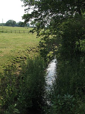
The River Croco is a small river in Cheshire, England. It begins in fields west of Congleton. The river then flows past the southern edge of Holmes Chapel. Finally, it joins the River Dane in Middlewich. The River Croco is about 8 kilometers (5 miles) long.
Contents
Where Does the River Croco Start?
The River Croco starts in the low-lying fields northeast of a place called Brookhouse Green. From there, it flows north. It then turns northwest, passing by Illidge Green.
Journey Through Brereton
The river continues its journey past Brereton Hall. Here, people built a weir and a boathouse. These were made west of Saint Oswald's Church. The river then flows northwest towards Parkmill Farm. Another weir was built here to create Brereton Pool.
Flowing Towards Middlewich
The River Croco then heads towards Holmes Chapel. After that, it turns west. It flows under London Road (A50) at Alum Bridge. The river keeps going west. It passes under the M6 and Poolford Lane near Cinderhill. It also goes under Brereton Lane, north of Dockbank Farm at Sproston.
The river continues its westward path through Fender Wood. It winds its way north of Kinderton Lodge. Finally, it reaches Middlewich. Here, Sanderson's Brook joins it southeast of the town. This is near Brooks Lane. The River Croco then flows northwest. It stays on the right side of the Trent and Mersey Canal. It joins the River Dane at the northwest corner of Harbutt's Field.
How the River Croco Powered a Mill
In Fender Wood, a weir helps to send water into a special channel. This channel was built to supply an old mill race. A mill race is a channel that carries water to power a mill. This water channel follows the edges of fields. It goes past what used to be Brookhouse Farm. This farm is now the Salt Cellar public house.
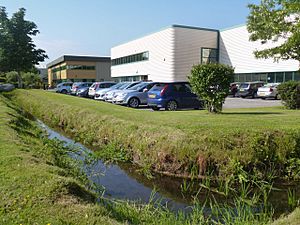
The channel then goes under Pochin Way. This was once the start of Lodge Lane. It flows through the Midpoint 18 business park. Then it goes under Holmes Chapel Road. After that, it runs through the garden of a bungalow. This bungalow is east of the Old Station House. Here, the water disappears into a culvert. A culvert is a tunnel that carries water underground. It goes towards the railway embankment.
Long ago, this water channel would have filled a mill pond. This pond then powered the Kinderton Corn Mill. This is shown on an old map from 1882.
River Croco's Elevation
If you look at a topographic map, you can see how high the land is. The River Croco starts at about 85 meters (280 feet) above sea level. This is its source. It then flows downhill. Where it joins the River Dane, its elevation is about 27 meters (89 feet).
 | Delilah Pierce |
 | Gordon Parks |
 | Augusta Savage |
 | Charles Ethan Porter |


