Samaro facts for kids
Quick facts for kids
Samaro
سمارو
|
|
|---|---|
|
City
|
|
| Country | |
| Province | |
| District | Umarkot |
| Elevation | 11 m (36 ft) |
| Time zone | UTC+5 (PST) |
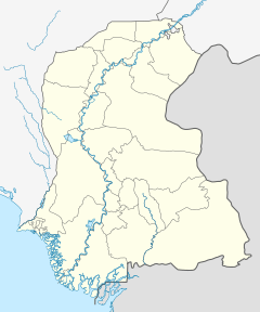
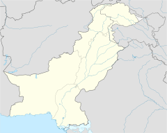
Samaro (Urdu: سمارو) is a town in the Sindh province of Pakistan. It is the main town of a "tehsil," which is like a local administrative area. Samaro is part of Umarkot District.
Samaro's Past: A Look at Its History
How Samaro Got Its Name and Grew
Long ago, when the British ruled this area, Samaro was called Jamesabad. This name meant "Jamestown." It was an important part of the old Tharparkar District, which was much bigger back then.
The area around Jamesabad was known as a "taluka," another type of local administrative area. It was part of the Bombay Presidency, a large region governed by the British.
In 1901, a count showed that 24,038 people lived in this taluka. This was a big jump from 19,208 people in 1891. The area was quite busy, with about 48 people living in each square mile. The taluka had 184 villages, and Jamesabad was the main town for all of them.
Samaro Today: Development and Growth
Today, Samaro is located in the Umerkot District. The area is growing, with new developments happening. For example, Samaro Road is about 7 kilometers northeast of the city and is also developing.
Another nearby place is Rahu Abad, which is about 7.5 kilometers from Samaro. It is also becoming a more developed area within the Samaro Taluka.
Leaders have worked to improve Samaro. For instance, Zulfiqar Ali Khaskheli, a former local leader, helped a lot with the city's development. He focused on building new roads and improving the basic services like education and health for the people living in Samaro and the surrounding areas.
 | Ernest Everett Just |
 | Mary Jackson |
 | Emmett Chappelle |
 | Marie Maynard Daly |


