Selma, Iowa facts for kids
Quick facts for kids
Selma, Iowa
|
|
|---|---|
| Country | United States |
| State | Iowa |
| County | Van Buren |
| Elevation | 617 ft (188 m) |
| Time zone | UTC-6 (Central (CST)) |
| • Summer (DST) | UTC-5 (CDT) |
| ZIP codes |
52588
|
| GNIS feature ID | 461502 |
Selma is a small place in Van Buren County, Iowa, in the United States. It's called an unincorporated community. This means it's a group of homes and businesses that doesn't have its own local government, like a city or town does.
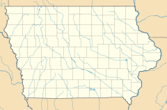
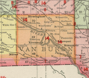
Selma is located in the northwestern part of Van Buren County. You can find it along Iowa Highway 16, which is a road that goes northwest from Keosauqua. Keosauqua is the main town in Van Buren County, also known as the county seat. Selma sits at an elevation of about 617 feet (188 meters) above sea level.
A Look Back: Selma's History
Even though Selma doesn't have its own city government, it still has a post office! This post office helps people send and receive mail, and it uses the ZIP code 52588.
The post office in Selma has an interesting history. It first opened on September 10, 1874. Back then, it wasn't called Selma; it was known as the Hickory post office. A few years later, on April 24, 1882, its name was officially changed to Selma.
In 1925, Selma was a bit bigger than it is today. Records from that year show that about 275 people lived there.
 | Lonnie Johnson |
 | Granville Woods |
 | Lewis Howard Latimer |
 | James West |


