Seraph Bay facts for kids
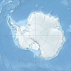
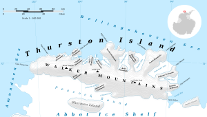
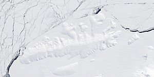
Seraph Bay is a large bay located at the southeast end of Thurston Island in Antarctica. A bay is a part of a sea or lake that extends into the land, forming a curve. Seraph Bay is about 28 kilometers (15 nautical miles) wide. A nautical mile is a unit of distance used for sea and air travel.
This bay is surrounded by important land features. To the northwest, it meets Cape Annawan. To the southwest, it borders the Abbot Ice Shelf, which is a large floating sheet of ice. On the southeast side, you'll find Dustin Island.
Discovery and Naming of Seraph Bay
Seraph Bay was first seen by members of the United States Antarctic Service (USAS) in February 1940. They spotted the bay during flights from their ship, the Bear. Later, in February 1960, the U.S. Navy's Bellingshausen Sea Expedition explored the bay more closely. This expedition helped to map the bay's shape and size more accurately.
The bay was named by the US-SCAN (United States Advisory Committee on Antarctic Names). It was named after a ship called the Seraph. The Seraph was a brig, which is a type of sailing ship with two masts. In 1830, under Captain Benjamin Pendleton, the Seraph sailed west from the South Shetland Islands. It traveled very far, reaching a longitude of 101 degrees West, south of 60 degrees South latitude.
Exploring Antarctica's Bays
Bays like Seraph Bay are important for understanding the geography of Antarctica. They are often formed by glaciers or ice sheets. Studying these areas helps scientists learn about climate change and the movement of ice. Expeditions like the ones that explored Seraph Bay are crucial for mapping and understanding this icy continent.


