Sheff, Indiana facts for kids
Quick facts for kids
Sheff, Indiana
|
|
|---|---|
|
extinct town
|
|

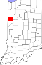
Benton County's location in Indiana
|
|
| Country | United States |
| State | Indiana |
| County | Benton County |
| Township | York Township |
| Elevation | 764 ft (233 m) |
| Time zone | UTC-5 (Eastern (EST)) |
| • Summer (DST) | UTC-4 (EDT) |
| ZIP code |
47942
|
| Area code(s) | 219 |
| GNIS feature ID | 443340 |
Sheff was once a small town in York Township, Benton County, in the U.S. state of Indiana. It is now considered an "extinct town" because it no longer exists as a populated place.
Contents
A Look Back: Sheff's Story
Sheff was an important spot for railroads. It had a special building called an interlocking tower. This tower helped control where trains went. It managed the crossing of two major railroad lines. These were the New York Central (NYC) and the Big Four (CCC&StL) railroads.
The town got its name from a vice president of the Big Four railroad company. A large area for transferring goods was located north of the tower.
Railroads and Their Purpose
The North-South railroad line was built in 1906. It was known as the Chicago, Indiana, & Southern. This was an important time for railroads. These lines helped move coal north. The coal was used by the huge steel mills being built in Indiana Harbor and Gary, Indiana.
Life in Sheff
At one point, Sheff was a busy place. It had a YMCA, which is a community center. There was also a roundhouse, a building for servicing trains. The town also had a restaurant and several houses.
In 1966, three people worked in the interlocking tower. Today, the tower no longer stands.
Where Was Sheff Located?
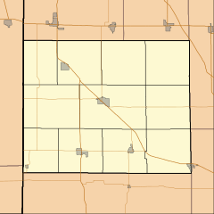
Sheff was located in Indiana, northwest of a town called Earl Park, Indiana. Its exact coordinates are 40°42′20″N 87°26′57″W / 40.70556°N 87.44917°W. These numbers help pinpoint its location on a map.
 | Frances Mary Albrier |
 | Whitney Young |
 | Muhammad Ali |


