Sky Pilot Creek (Manitoba) facts for kids
Quick facts for kids Sky Pilot Creek |
|
|---|---|

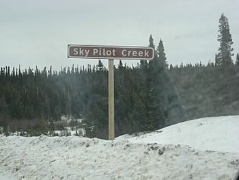
Road sign for Sky Pilot Creek
|
|
|
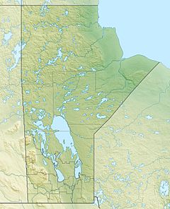
Location of the mouth of Sky Pilot Creek in Manitoba
|
|
| Country | Canada |
| Province | Manitoba |
| Region | Northern |
| Physical characteristics | |
| Main source | Sky Pilot Lake 144 m (472 ft) 56°30′24″N 94°50′41″W / 56.50667°N 94.84472°W |
| River mouth | Nelson River 90 m (300 ft) 56°24′28″N 94°21′46″W / 56.40778°N 94.36278°W |
| Basin features | |
| River system | Hudson Bay drainage basin |
Sky Pilot Creek is a river located in the northern part of Manitoba, Canada. It's a small but important waterway. This creek is part of a much larger system of rivers and lakes. All the water from this area eventually flows into Hudson Bay.
Journey of Sky Pilot Creek
Sky Pilot Creek starts its journey from a place called Sky Pilot Lake. From there, it flows until it reaches the Nelson River. The Nelson River is a very large river in Manitoba. Sky Pilot Creek joins the Nelson River as a "left tributary." This means it flows into the Nelson River from the left side if you are looking downstream.
Where the Creek Meets the River
The creek meets the Nelson River right after a big power station. This station is called the Long Spruce Generating Station. It uses the power of the river to make electricity. So, the creek flows into the Nelson River just below this important dam.
Crossing Paths with Roads
The creek also goes under a road twice. This road is called Manitoba Provincial Road 280. It crosses the road once near where it begins at Sky Pilot Lake. It crosses the road again just before it flows into the Nelson River.
 | Kyle Baker |
 | Joseph Yoakum |
 | Laura Wheeler Waring |
 | Henry Ossawa Tanner |


