Smiths Lake (New South Wales) facts for kids
Quick facts for kids Smiths Lake |
|
|---|---|
| Smith Lake | |
| Location | Mid North Coast, New South Wales, Australia |
| Coordinates | 32°23′S 152°30′E / 32.383°S 152.500°E |
| Type | Intermittently closed youthful saline coastal lagoon |
| Primary inflows | Wamwarra Creek, Tarbuck Creek |
| Primary outflows | Intermittently open sandbar to the Tasman Sea |
| Catchment area | 28 square kilometres (11 sq mi) |
| Basin countries | Australia |
| Managing agency | Mid-Coast Council |
| Surface area | 10 square kilometres (3.9 sq mi) |
| Average depth | 2.4 metres (7 ft 10 in) |
| Water volume | 23,552.5 megalitres (831.75×10⁶ cu ft) |
| Surface elevation | 0 m (0 ft) |
| Islands | Big Island, Little Island, Bull Island |
| Settlements | Green Point, Pacific Palms, Smiths Lake |
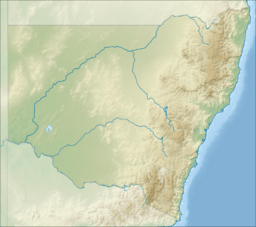
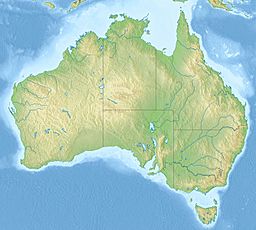
Smiths Lake is a special type of lake called a coastal lagoon. It is found on the Mid North Coast of New South Wales, Australia. This lake is near the village of Smiths Lake. It is about 274 kilometers (170 miles) north of Sydney.
Smiths Lake is known as an "intermittently closed" lagoon. This means it sometimes opens up to the ocean and sometimes closes off. Its water is salty, like the ocean.
Contents
How Smiths Lake Works
Smiths Lake gets its water from Wallingat National Park and Wallingat State Forest. Water also flows in from Wamwarra and Tarbuck creeks. The area that collects water for the lake is about 28 square kilometers. The lake itself covers about 10 square kilometers.
The Sandbar and Ocean Connection
A sandbar separates Smiths Lake from the Tasman Sea. This sandbar acts like a natural barrier. When the lake's water level gets too high, it can cause flooding. To prevent this, the local council can open the sandbar.
They use a large machine, like a bulldozer, to dig a trench. This trench connects the lake to the ocean. Water then flows out of the lake, lowering its level. This helps protect the nearby low-lying areas from floods.
Smiths Lake in Documentaries
Smiths Lake is a unique coastal dune lake. Its special features have even been shown in films. An American documentary about protecting nature once featured Smiths Lake. This film was made by a producer named Elam Stoltzfus.
Islands and Nearby Areas
Smiths Lake has three islands within its waters. These islands are named Big Island, Little Island, and Bull Island.
Nearby Protected Areas
The northern part of the Ramsar-protected Myall Lakes are located close to Smiths Lake. However, Smiths Lake is not directly connected to the Myall Lakes. It is also not officially part of them. The southern edge of Smiths Lake forms the northern border of the Myall Lakes National Park.
Fishing in Smiths Lake
For many years, people fished in Smiths Lake to make a living. This commercial fishing continued until April 2007. At that time, Smiths Lake became part of the Port Stephens-Great Lakes Marine Park.
Because of this change, rules about fishing changed. A large part of the lake became a "Sanctuary Zone." This means no commercial fishing is allowed there. Another area, Symes Bay, became a "Habitat Protection Zone." This also limited commercial fishing. Now, commercial fishing is not allowed in more than two-thirds of the lake.


