St. George's Bay (Newfoundland and Labrador) facts for kids
St. George's Bay is a large bay in Canada. It's located in the province of Newfoundland and Labrador. People sometimes call it Bay St. George. This is because of its French name, Baie St-George.
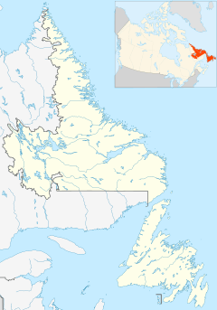
The bay is on the west coast of the island of Newfoundland. It's part of the larger Gulf of Saint Lawrence.
What is St. George's Bay Like?
St. George's Bay is about 64 kilometers (40 miles) wide at its entrance. This opening is between Cape Anguille in the south and Cape St. George in the north.
The northern shore of the bay is about 60 kilometers (37 miles) long. It stretches from Stephenville Crossing to Cape St. George. Cape St. George is at the end of the Port au Port Peninsula.
The southern shore is longer, about 100 kilometers (62 miles). It goes from Stephenville Crossing down to Cape Anguille.
Communities Around St. George's Bay
Many towns and villages are located along the shores of St. George's Bay. These communities are important to the people who live there. They offer a look into the local life and history of the area.
Here are some of the communities you can find along the bay:
- Cape St. George
- Petit Jardin
- Grand Jardin
- De Grau
- Red Brook
- Loretto
- Marches Point
- Sheaves Cove
- Lower Cove
- Ship Cove
- Jerrys Nose
- Abraham's Cove
- Campbells Creek
- Man of War Cove
- Felix Cove
- Aguathuna
- Bellmans Cove
- Port au Port
- Port au Port East
- Romaines
- Kippens
- Stephenville
- Stephenville Crossing
- Mattis Point
- Barachois Brook
- Seal Rocks
- St. George's
- Sandy Point
- Shallop Cove
- Flat Bay
- Flat Bay West
- St. Teresa
- Journois
- Fischells
- Heatherton
- Robinsons
- McKay's
- Jeffrey's
- Bay St. George South
- St. David's
- Maidstone
- St. Fintan's
- Loch Leven
- Highlands
- Cape Anguille
 | Roy Wilkins |
 | John Lewis |
 | Linda Carol Brown |


