Stanton, Missouri facts for kids
Quick facts for kids
Stanton, Missouri
|
|
|---|---|

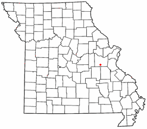
Location of Stanton in Missouri
|
|
| Country | United States |
| State | Missouri |
| County | Franklin |
| Area | |
| • Total | 3.27 sq mi (8.47 km2) |
| • Land | 3.27 sq mi (8.47 km2) |
| • Water | 0.00 sq mi (0.00 km2) |
| Elevation | 879 ft (268 m) |
| Population
(2020)
|
|
| • Total | 366 |
| • Density | 111.96/sq mi (43.23/km2) |
| ZIP code |
63080
|
| Area code(s) | 573 |
| FIPS code | 29-70342 |
| GNIS feature ID | 2806401 |
Stanton is a small, unincorporated community in the southern part of Franklin County, Missouri, United States. An "unincorporated community" means it's a place where people live, but it doesn't have its own local government like a city or town.
Stanton is located right along Interstate 44. This major highway makes it easy to get to and from the community. It's also near Missouri Supplemental Route W. This route leads to the famous Meramec Caverns, which are about two miles southeast along the Meramec River.
History of Stanton
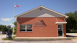
The community of Stanton has a long history. A post office, which helps people send and receive mail, has been operating here since 1857. This means people have been living and working in Stanton for a very long time.
The name "Stanton" comes from the nearby copper mines. These mines were important in the area's early days.
Population of Stanton
The number of people living in Stanton is counted regularly. This count is called a census.
- In 2020, the U.S. Census showed that 366 people lived in Stanton.
 | Bessie Coleman |
 | Spann Watson |
 | Jill E. Brown |
 | Sherman W. White |


