Tabertown, Indiana facts for kids
Quick facts for kids
Tabertown, Indiana
|
|
|---|---|

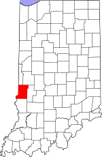
Vigo County's location in Indiana
|
|
| Country | United States |
| State | Indiana |
| County | Vigo |
| Township | Lost Creek |
| Elevation | 591 ft (180 m) |
| Time zone | UTC-5 (Eastern (EST)) |
| • Summer (DST) | UTC-4 (EDT) |
| ZIP code |
47878
|
| Area code(s) | 812, 930 |
| GNIS feature ID | 444535 |
Tabertown is a small place in Vigo County, Indiana. It's called an unincorporated community. This means it's a group of homes and businesses that isn't officially a town or city with its own local government. It's like a neighborhood that's part of a bigger area.
Today, Tabertown is actually inside the town limits of Seelyville. It's also part of the larger Terre Haute metropolitan area, which is a group of cities and towns around Terre Haute.
Where is Tabertown?
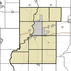
Tabertown is located in Lost Creek Township. You can find it at these coordinates: 39°29′41″N 87°15′11″W / 39.49472°N 87.25306°W. These numbers help pinpoint its exact spot on a map.
The area is about 180 meters (or 591 feet) above sea level. This is its elevation, meaning how high it is compared to the ocean.


