Tahanea facts for kids

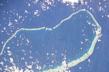
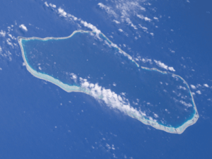
NASA picture of Tahanea Atoll
|
|
| Geography | |
|---|---|
| Location | Pacific Ocean |
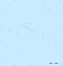
| Coordinates | 16°50′S 144°45′W / 16.833°S 144.750°W |
| Archipelago | Tuamotus |
| Area | 522.5 km2 (201.7 sq mi) (lagoon) 9.5 km2 (3.7 sq mi) (above water) |
| Length | 48 km (29.8 mi) |
| Width | 15.2 km (9.44 mi) |
| Administration | |
|
France
|
|
| Overseas collectivity | French Polynesia |
| Administrative subdivision | Tuamotus |
| Commune | Anaa |
| Demographics | |
| Population | Uninhabited (2012) |

Tahanea Atoll is a special kind of island called an atoll. It is part of the Tuamotu Archipelago in French Polynesia. This atoll is located about 12 kilometers (7.5 miles) east of Faaite Atoll.
Tahanea Atoll is about 48 kilometers (30 miles) long and up to 15.2 kilometers (9.4 miles) wide. The southern side of the atoll's reef is wider than the northern side. However, the biggest islands are found on the narrower northern edge.
Inside Tahanea, there is a large and deep lagoon. This lagoon covers an area of about 545 square kilometers (210 square miles). There are three deep channels that ships can use to enter the lagoon. These channels are named Motupuapua, Teavatapu, and Otao.
Tahanea is not a place where people live all the time. However, people from nearby islands sometimes visit it.
Exploring Tahanea's Past
The first European to see Tahanea was a Spanish sailor named Domingo de Boenechea. He discovered the atoll on November 9, 1774, while on his ship, the Aguila. He decided to name this atoll "San Julián."
Later, in 1820, a Russian explorer named Fabian Gottlieb von Bellingshausen visited Tahanea. He was on his ships, the Vostok and Mirni. Bellingshausen gave the atoll a new name, calling it "Chichagov."
How Tahanea is Governed
Tahanea is part of a larger administrative area called a commune. This commune is named Anaa. The Anaa commune also includes the Faaite atoll and the uninhabited atoll of Motutunga.
More to Discover
- Desert island
- List of islands
See also
 In Spanish: Tahanea para niños
 | Laphonza Butler |
 | Daisy Bates |
 | Elizabeth Piper Ensley |


