Tangier, Indiana facts for kids
Quick facts for kids
Tangier, Indiana
|
|
|---|---|

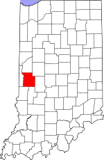
Parke County's location in Indiana
|
|
| Country | United States |
| State | Indiana |
| County | Parke |
| Township | Liberty |
| Elevation | 627 ft (191 m) |
| Time zone | UTC-5 (Eastern (EST)) |
| • Summer (DST) | UTC-4 (EDT) |
| ZIP code |
47952
|
| Area code(s) | 765 |
| GNIS feature ID | 444565 |
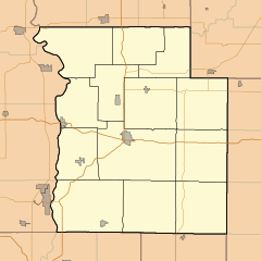
Tangier is a small place in Parke County, Indiana, in the United States. It is called an unincorporated community. This means it's a group of homes and businesses that is not officially a town or city with its own local government. People sometimes call Tangier by other names like Long Siding or Woodys Corner.
Contents
History of Tangier
When Was Tangier Started?
Tangier was officially planned and marked out on a map in 1886. This process is called platting. It helps organize how land is divided for buildings and streets.
How Did Tangier Get Its Name?
The community was named after a city far away: Tangier, which is in the country of Morocco in Africa. It's interesting how places can share names across the world!
The Tangier Post Office
A post office opened in Tangier in 1886, the same year the community was platted. This post office helped people send and receive mail for many years. It stayed open until 1994, when it closed down.
 | Calvin Brent |
 | Walter T. Bailey |
 | Martha Cassell Thompson |
 | Alberta Jeannette Cassell |


