Tayutic facts for kids
Quick facts for kids
Tayutic
|
|
|---|---|
|
District
|
|
| Country | |
| Province | Cartago |
| Canton | Turrialba |
| Creation | 11 June 1968 |
| Area | |
| • Total | 74.91 km2 (28.92 sq mi) |
| Elevation | 870 m (2,850 ft) |
| Population
(2011)
|
|
| • Total | 2,374 |
| • Density | 31.691/km2 (82.080/sq mi) |
| Time zone | UTC−06:00 |
| Postal code |
30508
|
Tayutic is a special area called a district in Costa Rica. It is part of the Turrialba canton, which is located in the Cartago province.
Contents
A Look at Tayutic's History
Tayutic officially became a district on June 11, 1968. It was created from a part of another district called La Suiza. This change helped organize the area better.
Exploring Tayutic's Geography
Tayutic covers an area of about 74.91 square kilometers. That's roughly the size of 10,000 football fields! The district is located about 870 meters (2,854 feet) above sea level. This elevation means it might have cooler temperatures than places closer to the coast.
Who Lives in Tayutic?
In 2011, a census counted the people living in Tayutic. At that time, the district had a population of 2,374 inhabitants. This number helps us understand how many people call Tayutic home.
Getting Around Tayutic
Road Connections
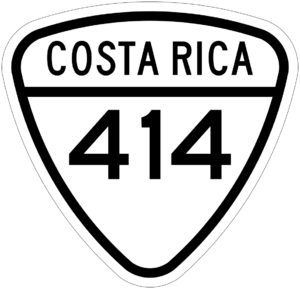
Tayutic is connected by roads that help people travel in and out of the district. One important road is:
- National Route 414
See also
 In Spanish: Tayutic para niños
 | Victor J. Glover |
 | Yvonne Cagle |
 | Jeanette Epps |
 | Bernard A. Harris Jr. |


