Tempate facts for kids
Quick facts for kids
Tempate
|
|
|---|---|
|
District
|
|
| Country | |
| Province | Guanacaste |
| Canton | Santa Cruz |
| Area | |
| • Total | 129.95 km2 (50.17 sq mi) |
| Elevation | 62 m (203 ft) |
| Population
(2011)
|
|
| • Total | 5,630 |
| • Density | 43.32/km2 (112.21/sq mi) |
| Time zone | UTC−06:00 |
| Postal code |
50304
|
Tempate is a special area called a district. It is part of the Santa Cruz area, which is in the Guanacaste province of Costa Rica.
Contents
About Tempate's Location
Tempate covers an area of about 129.95 square kilometers. That's like a square with sides about 11.4 kilometers long! It sits about 62 meters above sea level. This means it's not too high up in the mountains.
Villages and Communities
The main village in the district is also called Tempate. It's where the local government offices are.
Other villages in the district include Cañafístula, Chiles, Higuerón, Huacas, Jobo, Llano, Paraíso, Portegolpe, and Potrero. Each of these places has its own unique feel.
How Many People Live Here?
In 2011, a count was done to see how many people lived in Tempate. The census showed that 5,630 people called Tempate home.
| Historical population | |||
|---|---|---|---|
| Census | Pop. | %± | |
| 1883 | 651 | — | |
| 1927 | 2,339 | — | |
| 1950 | 2,731 | 16.8% | |
| 1963 | 4,094 | 49.9% | |
| 1973 | 3,267 | −20.2% | |
| 1984 | 3,371 | 3.2% | |
| 2000 | 3,395 | 0.7% | |
| 2011 | 5,630 | 65.8% | |
|
Instituto Nacional de Estadística y Censos |
|||
Getting Around Tempate
Roads and Routes
Several important roads help people travel through Tempate. These roads connect the district to other parts of Costa Rica. They are used for cars, buses, and trucks.
Here are some of the main roads:
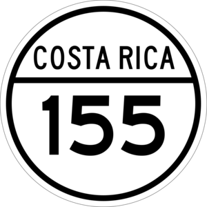
- National Route 155
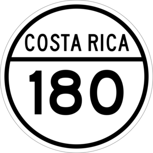
- National Route 180
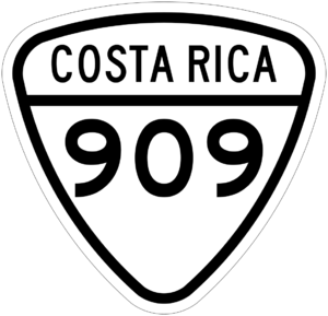
- National Route 909
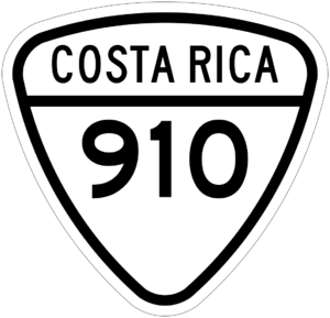
- National Route 910
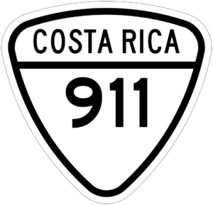
- National Route 911
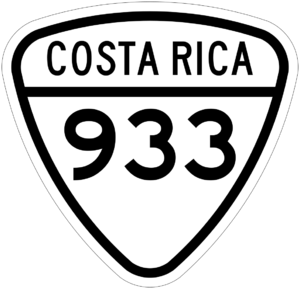
- National Route 933
See also
 In Spanish: Tempate para niños
 | William L. Dawson |
 | W. E. B. Du Bois |
 | Harry Belafonte |


