Toogoom facts for kids
Quick facts for kids ToogoomQueensland |
|||||||||||||||
|---|---|---|---|---|---|---|---|---|---|---|---|---|---|---|---|

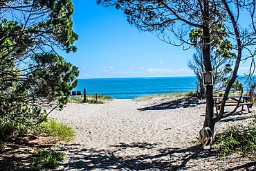
Toogoom Beach on Hervey Bay, 2017
|
|||||||||||||||
| Population | 2,178 (2016 census) | ||||||||||||||
| • Density | 133.6/km2 (346/sq mi) | ||||||||||||||
| Postcode(s) | 4655 | ||||||||||||||
| Area | 16.3 km2 (6.3 sq mi) | ||||||||||||||
| Time zone | AEST (UTC+10:00) | ||||||||||||||
| LGA(s) | Fraser Coast Region | ||||||||||||||
| State electorate(s) | Maryborough | ||||||||||||||
| Federal Division(s) | Hinkler | ||||||||||||||
|
|||||||||||||||
Toogoom is a lovely coastal town in Queensland, Australia. It is a peaceful place right by the ocean in the Fraser Coast Region. In 2016, about 2,178 people lived here.
Where is Toogoom?
Toogoom is located on the coast. To its west is Beelbi Creek, and to the north is Hervey Bay. O'Regan Creek is to the east.
The main part of the town is where Beelbi Creek meets Hervey Bay. Homes stretch along the creek and the sandy coast of Hervey Bay.
Waterways and Lakes
Toogoom has a lake called Toogoom Lake. There is also a reservoir nearby. These are south of the main living areas.
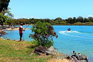
You can find a boat ramp at the end of Toogoom Road. This ramp lets boats get into Beelbi Creek easily.
Toogoom's Past
A long time ago, in 1877, a large area of land was set aside from the Toogoom pastoral run. This land was then divided into smaller farms. People could start choosing these farms on April 17, 1877.
Schools in Toogoom
Toogoom State School first opened its doors on January 30, 1918. However, it closed in late 1923 because there were not enough students.
The school reopened on January 30, 1934. But it closed for good in 1939.
Fun Things to Do

Toogoom is famous for its beautiful sandy beaches. The bay, Beelbi Creek, and Toogoom Lake are all great for fishing. You can also enjoy many other water sports here. Beelbi Creek is especially good for catching crabs!
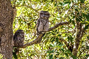
The area is also a popular spot for people who love watching birds. Many different kinds of birds can be seen around Toogoom.
 | Jewel Prestage |
 | Ella Baker |
 | Fannie Lou Hamer |


