Tucurrique facts for kids
Quick facts for kids
Tucurrique
|
|||
|---|---|---|---|
|
District
|
|||
|
|||
| Country | |||
| Province | Cartago | ||
| Canton | Jiménez | ||
| Creation | 19 April 1911 | ||
| Area | |||
| • Total | 33.52 km2 (12.94 sq mi) | ||
| Elevation | 777 m (2,549 ft) | ||
| Population
(2011)
|
|||
| • Total | 4,872 | ||
| • Density | 145.35/km2 (376.44/sq mi) | ||
| Time zone | UTC−06:00 | ||
| Postal code |
30402
|
||
Tucurrique is a special area called a district. It is part of the Jiménez canton. This canton is located in the Cartago province of Costa Rica.
Contents
History of Tucurrique
Tucurrique became an official district on April 19, 1911. This happened because of a special government rule. It was called "Decreto Ejecutivo 12." Before that, Tucurrique was part of the Paraíso canton.
Where Tucurrique Is: Geography
Tucurrique covers an area of about 33.52 square kilometers. That's about 13 square miles. The district is located at an elevation of 777 meters. This means it is 777 meters above sea level.
Who Lives There: Population
| Historical population | |||
|---|---|---|---|
| Census | Pop. | %± | |
| 1864 | 342 | — | |
| 1883 | 453 | 32.5% | |
| 1892 | 639 | 41.1% | |
| 1927 | 2,361 | 269.5% | |
| 1950 | 3,539 | 49.9% | |
| 1963 | 4,626 | 30.7% | |
| 1973 | 2,469 | −46.6% | |
| 1984 | 3,143 | 27.3% | |
| 2000 | 4,284 | 36.3% | |
| 2011 | 4,872 | 13.7% | |
|
Instituto Nacional de Estadística y Censos |
|||
In the year 2011, a census was taken in Costa Rica. This census counted how many people lived in Tucurrique. It found that 4,872 people lived there at that time.
Getting Around: Transportation
Road Transportation
You can reach Tucurrique by road. The district has a main road that helps people travel.
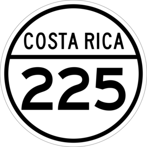
This road is called National Route 225. You can also get to Tucurrique by bus. Buses travel from Cartago or Turrialba to the district.
See also
 In Spanish: Tucurrique para niños


