Verte Island, Quebec facts for kids
|
Native name:
Île Verte
|
|
|---|---|

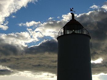
Lighthouse of the Green Island
|
|
| Geography | |
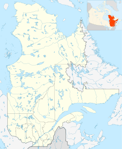
| Coordinates | 48°01′20″N 69°26′24″W / 48.022222°N 69.44°W |
| Area | 11.18 km2 (4.32 sq mi) |
| Administration | |
| Province | Quebec |
| Region | Bas-Saint-Laurent |
| MRC | Rivière-du-Loup Regional County Municipality |
| Demographics | |
| Population | 49 (Census of 2011) |
| Languages | French |
| Additional information | |
| Official website | www.ileverte.qc.ca |
Verte Island, also known as Île Verte in French, is a small island in the Saint Lawrence River estuary. It is located in the municipality of Notre-Dame-des-Sept-Douleurs, Quebec, within the Rivière-du-Loup Regional County Municipality. This area is part of the Bas-Saint-Laurent region in Quebec, Canada.
The island is home to people all year round. In 2011, 49 people lived there. From May to November, a ferry connects the island to the mainland. The island's territory is the same as the municipality of Notre-Dame-des-Sept-Douleurs.
About Verte Island
Where is Verte Island?
Verte Island is found in the middle part of the St. Lawrence River estuary. An estuary is where a river meets the sea, mixing fresh and salt water. The island is part of the Bas-Saint-Laurent region in Quebec, Canada. This region is known for its beautiful landscapes along the river.
Life on the Island
Verte Island is special because people live there all year. It's a small community, with only 49 residents counted in 2011. Living on an island means relying on a ferry for transport. The ferry service runs from May to November, connecting the islanders to the mainland. This link is important for supplies and travel.
Size and Location
Verte Island is located in the Rivière-du-Loup Regional County Municipality. It is a part of Quebec, one of Canada's largest provinces. The island's official name in French, Île Verte, means "Green Island." This name likely comes from its green appearance.
See also


