Walhain, Wisconsin facts for kids
Quick facts for kids
Walhain, Wisconsin
|
|
|---|---|

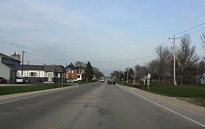
Looking east at Walhain
|
|
| Country | |
| State | |
| County | Kewaunee |
| Town | Luxemburg |
| Elevation | 784 ft (239 m) |
| Time zone | UTC-6 (Central (CST)) |
| • Summer (DST) | UTC-5 (CDT) |
| Area code(s) | 920 |
Walhain (pronounced WAH-layn) is a small, unincorporated community located in Kewaunee County, Wisconsin, in the United States. An "unincorporated community" means it's a group of homes and businesses that isn't officially a city or town with its own local government. Walhain is part of the larger Town of Luxemburg.
Where is Walhain Located?
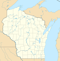
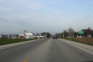
Walhain is situated in northeastern Wisconsin. You can find it about 2 miles west of the village of Luxemburg. The community is mainly centered around the spot where Walhain Road crosses Wisconsin Highway 54. It sits at an elevation of about 784 feet (239 meters) above sea level.
How Walhain Got Its Name
The name "Walhain" has a cool story! The community was named by a man named Florian Streyckman. He moved to this area in 1856. Florian came from a place called Walhain, which is a municipality (a type of local government area) in the country of Belgium. He decided to name his new home after his old one.
 | DeHart Hubbard |
 | Wilma Rudolph |
 | Jesse Owens |
 | Jackie Joyner-Kersee |
 | Major Taylor |


