Ware, Illinois facts for kids
Quick facts for kids
Ware
|
|
|---|---|

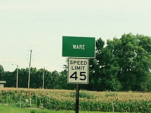
Highway 3 sign
|
|
| Country | United States |
| State | Illinois |
| County | Union |
| Elevation | 351 ft (107 m) |
| Time zone | UTC-6 (CST) |
| • Summer (DST) | UTC-5 (CDT) |
| Postal code |
62952
|
| Area code(s) | 618 |
Ware is a small place, called an unincorporated community, in Union County, Illinois. It's located close to a town called Jonesboro. An unincorporated community means it's a group of homes and businesses that isn't officially a town or city with its own local government.
A Look Back in Time
The very first people to live around Ware were from ancient groups. These groups are known as the Late Woodland and Mississippian cultures. They lived here a long, long time ago, between about 800 and 1300 A.D.
Ancient Village and Mounds
These early people built a village that had four large mounds. Sadly, one of these mounds was destroyed when Illinois Route 3 was built. The place where this ancient village and mounds stood is now called the Ware Mounds and Village Site. It is just west of Ware.
The Trail of Tears
In January 1839, something very important happened near Ware. Thousands of Cherokee people were forced to leave their homes in Georgia. They were being moved to a new area, which is now Oklahoma. This difficult journey is known as the Trail of Tears.
As they passed through Ware, the Cherokee faced a big problem. The Mississippi River was full of floating ice. This made it impossible for them to cross. So, they had to camp along a place called Dutch Creek. The weather was extremely cold, and many people suffered during this time.
Life in Ware Today
Ware is connected to the rest of Illinois by important routes. The Illinois Central Railroad passes right through the community. Also, Illinois Route 3, a major highway, goes through Ware. These connections help people travel and transport goods.
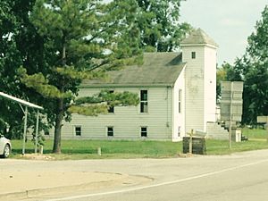
The community also has places for religious services. There are two churches in Ware: the Ware Baptist Church and the Ware United Methodist Church.
 | DeHart Hubbard |
 | Wilma Rudolph |
 | Jesse Owens |
 | Jackie Joyner-Kersee |
 | Major Taylor |


