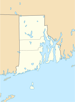
Waterman Reservoir facts for kids
Quick facts for kids Waterman Reservoir |
|
|---|---|
| Location | Glocester, Providence County, Rhode Island |
| Coordinates | 41°52′45″N 71°34′55″W / 41.87905°N 71.58194°W |
| Type | Artificial lake |
| Surface area | 318 acres (129 ha) |
| Average depth | 9 ft (2.7 m) |
| Max. depth | 12 ft (4 m) |
Waterman Reservoir is a big lake located in Glocester and Greenville. These towns are in Providence County, Rhode Island. The lake sits right along a road called Putnam Pike.
Contents
What is Waterman Reservoir?
Waterman Reservoir is a large, man-made lake. It was created a long time ago, in 1838. Before it was a lake, the area was a swampy piece of land.
How Big is Waterman Reservoir?
When the reservoir is completely full, it covers about 318 acres. That's a very large area of water! The average depth of the lake is about 9 feet. At its deepest point, the water can be up to 12 feet deep.
Who Was Waterman Reservoir Named After?
The reservoir got its name from a person named Resolved Waterman. He lived in Greenville in the early 1700s. He was an important landowner in the area.
How Was the Reservoir Created?
To create Waterman Reservoir, people built a special wall called a dam. This dam held back the water and turned the swamp into a lake.
Building the Causeway
At the same time the dam was built, a raised road was also constructed. This type of road is called a causeway. This causeway is now part of the Putnam Pike. Before this road was built, travelers had to go around the swamp. They used a road known as Austin Avenue, which was once called (Old) Killingly Road before the 1930s. The causeway made travel much easier and faster.
 | John T. Biggers |
 | Thomas Blackshear |
 | Mark Bradford |
 | Beverly Buchanan |


