Welshfield, Ohio facts for kids
Quick facts for kids
Welshfield, Ohio
|
|
|---|---|

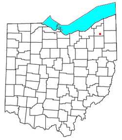
Location of Welshfield, Ohio
|
|
| Country | United States |
| State | Ohio |
| County | Geauga |
| Township | Troy |
| Elevation | 1,234 ft (376 m) |
| Time zone | UTC-5 (Eastern (EST)) |
| • Summer (DST) | UTC-4 (EDT) |
| GNIS feature ID | 1061727 |
Welshfield is a small community in Ohio, United States. It is also known by other names like Troy, Troy Center, Troy Centre, or Wellsfield. This area is an unincorporated community. This means it does not have its own local government like a city or town. Instead, it is part of Troy Township in Geauga County.
A Look Back: Welshfield's History
Welshfield got its name from an early settler named Jacob Welsh. He was a pioneer, meaning he was one of the first people to settle in this area. Jacob Welsh helped build important places like a local church and a school. In return for his help, the community was named after him.
For many years, Welshfield had its own post office. It first opened on February 23, 1838. This was a place where people could send and receive mail. However, the post office closed down on December 30, 1958. After that, mail for Welshfield addresses was handled by the post office in Burton.
Where is Welshfield?
Welshfield is located in the middle of Troy Township. You can find it where two main roads meet: U.S. Route 422 and State Route 700.
The community is about one mile east of the Cuyahoga River. It is also three miles east of the LaDue Reservoir. Welshfield sits at an elevation of 1,234 feet (376 meters) above sea level.
 | Lonnie Johnson |
 | Granville Woods |
 | Lewis Howard Latimer |
 | James West |

