Whatipu facts for kids
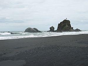
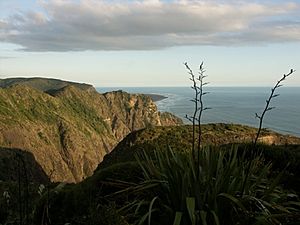
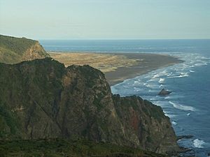
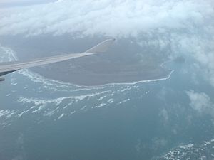
Whatipu is a quiet, out-of-the-way beach on the west coast of the Auckland Region in New Zealand. It's part of the North Island. Since 2002, the Whatipu area has been looked after as a special scientific reserve. This means it's protected for its natural features. The road to Whatipu is not paved. To the south of Whatipu, you'll find the Manukau Harbour. To the north is another beach called Karekare. Whatipu is at the very southern end of the Waitākere Ranges. The beach has changed a lot since the 1940s because of shifting sands. More than 6 square kilometres of new land has been added to the beach since then!
Contents
Staying Safe in the Water
Whatipu beach does not have lifeguards. This means there is no one watching out for swimmers. Swimming here can be dangerous because of strong currents called rips. Rips are like fast rivers in the ocean that can pull you away from the shore. This is true for many beaches on Auckland's west coast. A very sad event happened near Whatipu in 1863. A ship called HMS Orpheus crashed near the entrance to the Manukau Harbour. 189 people lost their lives. It was the biggest shipping disaster in New Zealand's history.
Whatipu's Early History
Long before Europeans arrived, the Māori used the Whatipu area a lot. They lived along the coast and in the river valleys. You can find caves about a 20-minute walk from the carpark. However, you cannot get to the beach from inside these caves. These caves and rock shelters were used as safe places during wars between the 1500s and 1700s. In the early 1900s, old pieces of fabric were found at four places in the area. These included parts of fishing nets, baskets, and cloaks. One site was at Whatipu, and three were on Paratutae Island nearby.
Whatipu's Past Industries
In 1867, a timber mill was built at Whatipu. It was used to cut down and process kauri trees. Kauri trees are very large and important native trees. A special railway track was built in 1870 to connect to another timber mill three kilometers north. This track was later made even longer, reaching up to Piha and Anawhata. The mills closed in 1886 because there were no more kauri trees left to cut. While the timber mill was open, the workers used the bigger caves for meetings and fun events. In the early 1900s, the largest cave was even used for dances! But over time, sand has drifted into the cave. Now, the old dance floor is covered by five metres of sand.
Exploring Whatipu: Walking Tracks
There are some great walks you can do from Whatipu.
Whatipu-Gibbons Track
This walk takes about 6 hours to complete. The path starts at the carpark at Whatipu. It goes up a hill to the right of the carpark and is easy to follow. The track then goes along the top of the cliffs to the Pararaha Valley. From there, it goes down to the beach at Pararaha point. You then follow the beach back to Whatipu. Be careful if you see Paratutae Rock at the harbour entrance. It is very hard and dangerous to climb down.
Kura-Omanawanui Tracks
This is another good walk from Whatipu, taking about 4 hours. You follow the Kura Track eastwards next to a stream, going through native bush. Then, it climbs steeply up to Puriri Ridge and the Whatipu Road. You come back via the Omanawanui Track. This track follows a winding ridge through open bush. It offers amazing views across the Manukau Harbour and the Whatipu valley towards the west coast.
Whatipu Today
Whatipu is a special place that has appeared in the media. In 2006, the area was shown on Ghost Hunt, a New Zealand TV show about spooky places. Whatipu has also been used for a running event called the Wild Turkey Off-Road Half Marathon. The Whatipu Beach Beacon is a lighthouse that helps guide ships in the area.
 | Audre Lorde |
 | John Berry Meachum |
 | Ferdinand Lee Barnett |


