Wilroads Gardens, Kansas facts for kids
Quick facts for kids
Wilroads Gardens, Kansas
|
|
|---|---|

|
|
| Country | United States |
| State | Kansas |
| County | Ford |
| Area | |
| • Total | 2.253 sq mi (5.84 km2) |
| • Land | 2.253 sq mi (5.84 km2) |
| • Water | 0 sq mi (0 km2) |
| Elevation | 2,444 ft (745 m) |
| Population
(2020)
|
|
| • Total | 639 |
| • Density | 283.62/sq mi (109.51/km2) |
| Time zone | UTC-6 (CST) |
| • Summer (DST) | UTC-5 (CDT) |
| ZIP code |
67801
|
| Area code | 620 |
| FIPS code | 20-79625 |
| GNIS ID | 473893 |
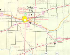
Wilroads Gardens is a small community located in Ford County, Kansas, in the United States. It is known as a census-designated place (CDP). This means it's an area that the government counts as a separate community for gathering information, even though it might not have its own local government like a city or town.
As of the 2020 census, about 639 people lived in Wilroads Gardens. You can find this community about one mile south of Highway 50 at 117 Road.
Population in Wilroads Gardens
The number of people living in Wilroads Gardens is counted by the U.S. government during a special survey called a census. This happens every ten years.
| Historical population | |||
|---|---|---|---|
| Census | Pop. | %± | |
| 2010 | 609 | — | |
| 2020 | 639 | 4.9% | |
| U.S. Decennial Census | |||
According to the 2010 census, 609 people lived here. By the 2020 census, the population had grown slightly to 639 people.
Schools in the Community
Students living in Wilroads Gardens attend public schools that are part of the Dodge City USD 443 school district. This district serves the educational needs of the community.
See also
 In Spanish: Wilroads Gardens (Kansas) para niños
 | Janet Taylor Pickett |
 | Synthia Saint James |
 | Howardena Pindell |
 | Faith Ringgold |


