Yenyening Lakes facts for kids
Quick facts for kids Yenyenning Lake |
|
|---|---|
| Location | Wheatbelt, Western Australia |
| Coordinates | 32°14′02″S 117°11′54″E / 32.23389°S 117.19833°E |
| Type | saline |
| Catchment area | 13,000 ha (32,000 acres) |
| Basin countries | Australia |
| Surface area | 150 ha (370 acres) |
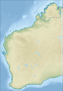
Yenyenning Lake, also known as the Yenyening Lakes, is a special group of lakes in Western Australia. These lakes are super important because they are where the Avon River and Swan River begin. You can find them in the Wheatbelt area, about 31 km (19 mi) northeast of Brookton.
Contents
Exploring the Yenyenning Lake System
The Yenyenning Lake system is made up of several connected lakes and features. They stretch out like a chain across the landscape.
Names of the Lakes
Starting from the western side, here are some of the lakes and features you'll find:
- Causeway Lake
- Johnnie's Lake
- Ski Lake
- Racecourse Lake
- Ossigs Lake
- The Neck (a narrow feature)
- Mud Lake
- Rocky Lake
- Swan Lake
- The Channel (another connecting feature)
What Are Playa Lakes?
The lakes in this system are known as playa lakes. This means they are usually dry, flat areas that only fill with water after heavy rain. They are a great example of how these types of lake chains work.
The Lake's Environment and History
The Yenyenning Lake system is located in a unique environment. It has been shaped by both natural processes and human activities over time.
The Catchment Area
The land around the lakes, called the catchment area, covers about 13,000 ha (32,000 acres). This area is made of sand and soil carried by wind and water. The lakes get about 452 mm (17.8 in) of rain each year. However, a lot of water evaporates, about 2,004 mm (78.9 in) annually.
The lakes sit along old river paths, which are like ancient valleys. They are found where old drainage systems meet newer ones. Larger lakes in the system are separated by sandy hills and areas where salty water flows.
Farming and the Lakes
Since European settlers arrived, the land around the lakes has been used a lot for farming. This has caused some problems, like the soil and water becoming saltier. Experts have studied these issues to find solutions.
The lakes are located across three different local government areas: Beverley, Brookton, and Quairading.
A Haven for Wildlife
Even with the changes, the lakes are still a very important place for wildlife. The areas of natural plants that remain around the lakes have been protected as a nature reserve. You can even see the lakes from the top of nearby County Peak.
Past Uses of the Lakes
In the early 1900s, people knew if some of these lakes were fresh or salty. Later, in the 1970s, the lakes were a popular spot for duck shooting.
 | George Robert Carruthers |
 | Patricia Bath |
 | Jan Ernst Matzeliger |
 | Alexander Miles |


