Yukon Plateau facts for kids
Quick facts for kids Yukon Plateau |
|
|---|---|
| Location | British Columbia and Yukon |
| Coordinates | 62°15′00″N 137°15′00″W / 62.25000°N 137.25000°W |
| Part of | Intermontane Plateaus |
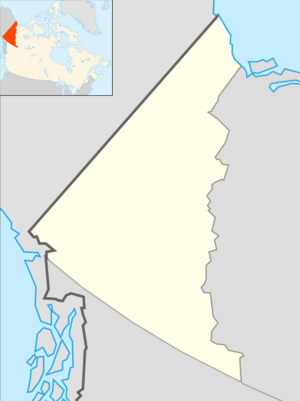
The Yukon Plateau is a huge, mostly flat area of land in Canada. It covers a big part of the Yukon Territory and a small piece of northern British Columbia. Think of it as a giant, elevated plain!
Discovering the Yukon Plateau
The Yukon Plateau is a large plateau located in the central and southern parts of the Yukon Territory. It also stretches into the far northern area of British Columbia, Canada. This vast landform is found between Tagish Lake to the west and the Cassiar Mountains to the east. To its north, you'll find the Nakina River.
What is a Plateau?
A plateau is like a big, flat table of land that stands higher than the land around it. Sometimes, a plateau can also be called a plain, especially if it's very wide and relatively flat. The Yukon Plateau fits this description, making it a unique and important part of Canada's geography.
Smaller Plateaus Within
The Yukon Plateau isn't just one big flat area. It includes smaller, distinct plateaus within its boundaries. Two of these are the Teslin Plateau and the Nisutlin Plateau. The Teslin Plateau is located to the west of Teslin Lake, while the Nisutlin Plateau is found to the east of the lake. These smaller sections add to the varied landscape of the larger Yukon Plateau.
 | Selma Burke |
 | Pauline Powell Burns |
 | Frederick J. Brown |
 | Robert Blackburn |


