Abajo Mountains facts for kids
Quick facts for kids Abajo Mountains |
|
|---|---|
| Blue Mountains | |

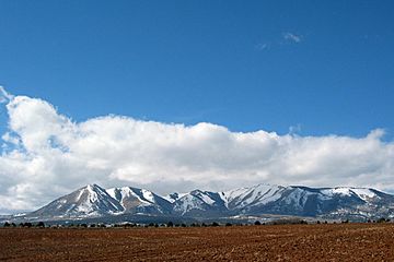
Abajo Mountains near Monticello
|
|
| Highest point | |
| Peak | Abajo Peak |
| Elevation | 11,360 ft (3,460 m) |
| Geography | |
| Country | United States |
| State | Utah |
| Parent range | Rocky Mountains |
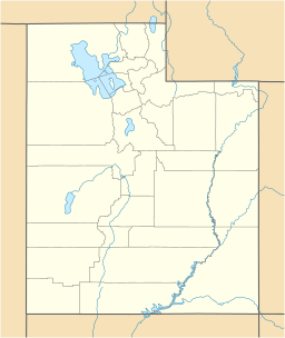
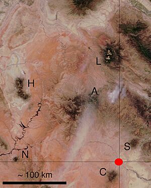
The Abajo Mountains, also known as the Blue Mountains, are a small mountain range. They are located in Utah, west of Monticello, Utah. You can find them south of Canyonlands National Park and north of Blanding, Utah.
This mountain range is part of the Manti–La Sal National Forest. The highest point in the Abajo Mountains is Abajo Peak. It stands tall at 11,360 feet (3,463 m).
How the Abajo Mountains Formed
The Abajo Mountains were created by melted rock from deep underground. This melted rock pushed up the layers of earth above it. This process formed what are called laccoliths. A laccolith is like a dome-shaped bulge of rock that forms underground.
The main type of hard rock found here is called diorite. Scientists believe these mountains started forming between 22 and 29 million years ago.
Part of the Colorado Plateau
The Abajo Mountains are part of a larger area called the Colorado Plateau. This plateau covers parts of Utah, Colorado, New Mexico, and Arizona.
Unlike the much older Rocky Mountains, the Abajo Mountains and similar ranges in the area are much younger. They formed in a different way, mostly from the underground rock pushing up the land.
What's in a Name?
The name "Abajo" comes from the Spanish language. It means "low" or "below." Spanish explorers likely named the mountains in the 1700s.
See also
 In Spanish: Sierra de Abajo para niños
 | John T. Biggers |
 | Thomas Blackshear |
 | Mark Bradford |
 | Beverly Buchanan |


