Alligator Lake volcanic complex facts for kids
Quick facts for kids Alligator Lake volcanic complex |
|
|---|---|

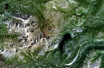
Aerial photo of the Alligator Lake volcanic complex
|
|
| Highest point | |
| Elevation | 2,217 m (7,274 ft) |
| Listing | List of volcanoes in Canada List of Northern Cordilleran volcanoes |
| Geography | |
| Location | Yukon, Canada |
| Geology | |
| Age of rock | Holocene |
| Mountain type | Volcanic field |
| Volcanic arc/belt | Northern Cordilleran Volcanic Province |
| Last eruption | Unknown |
The Alligator Lake volcanic complex is a group of volcanoes in south-central Yukon, Canada. It features cone-shaped hills made of volcanic rock, called cinder cones. There are also wide areas covered by cooled rivers of rock, known as lava flows.
What is the Alligator Lake Volcanic Complex?
The upper part of this volcanic area has two well-preserved cinder cones. These cones sit on top of a smaller, wide, dome-shaped volcano. This type of volcano is called a shield volcano. These volcanoes likely formed after the last major ice age in this region. This ice age happened during the Holocene period.
How Did the Lava Flow?
Lava flowed from both cinder cones at the same time. These lava flows traveled towards the north. The melted rock from these volcanoes varied in its chemical makeup.
The lava flows from the northeast cone were the largest. They stretched about 6 kilometers (3.7 miles) from the cone. At their widest point, these flows spread out to about 10 kilometers (6.2 miles).
Where Does the Name Come From?
The volcanic complex gets its name from a nearby body of water. This lake is known as Alligator Lake.
 | Misty Copeland |
 | Raven Wilkinson |
 | Debra Austin |
 | Aesha Ash |

