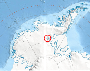
Where the Sentinel Range is located in Western Antarctica.

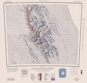
A map of the Sentinel Range.
Brichebor Peak is a tall mountain peak in Antarctica. It stands at 2,900 meters (about 9,514 feet) high. This peak is part of the Vinson Massif, which is a huge mountain range in the Sentinel Range of the Ellsworth Mountains. It sits at the end of a ridge that goes southwest from a much taller peak called Príncipe de Asturias Peak (which is 4,680 meters high!).
Brichebor Peak has two glaciers nearby. The Tulaczyk Glacier is to its southeast, and the Cairns Glacier is to its northwest. The peak gets its name from another mountain called Brichebor Peak, which is located in the Rila Mountain area of Southwestern Bulgaria.
Where is Brichebor Peak?
Brichebor Peak is located at 78°34′11″S 85°54′58″W / 78.56972°S 85.91611°W / -78.56972; -85.91611. This means it's in a very specific spot in Antarctica. It's about 8.17 kilometers (about 5 miles) south of Knutzen Peak. It's also 6.35 kilometers (about 3.9 miles) southwest of Silverstein Peak. If you look west, it's 7.41 kilometers (about 4.6 miles) from Opalchenie Peak. And to the northwest, it's 7.71 kilometers (about 4.8 miles) from Mount Slaughter. The United States has mapped this area several times, including in 1961, 1988, and 2007.


