Calawah River facts for kids
Quick facts for kids Calawah River |
|
|---|---|

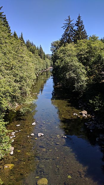
Calawah River, looking upstream from the US Highway 101 bridge
|
|
| Country | United States |
| State | Washington |
| Region | Clallam County, Washington |
| Physical characteristics | |
| Main source | Olympic Mountains Olympic Peninsula 47°58′14″N 124°20′03″W / 47.97056°N 124.33417°W |
| River mouth | Bogachiel River 26 ft (7.9 m) 47°55′58″N 124°26′51″W / 47.93278°N 124.44750°W |
| Length | 31 mi (50 km) |
| Basin features | |
| Basin size | 160 sq mi (410 km2) |
| Tributaries |
|
The Calawah River is a river in Washington State, USA. It flows for about 31 mi (50 km) (50 km) and is a branch, or tributary, of the Bogachiel River. You can find it in Clallam County, on the Olympic Peninsula.
The Calawah River has two main branches: the South Fork Calawah River and the North Fork Calawah River. This river flows through an area of the Olympic Mountains that doesn't have many people. The entire area that the river drains, called its watershed, is covered in old, untouched forests.
What's in a Name?
The name Calawah comes from the Quileute people. Their word qàló?wa means "in between" or "middle river." This name likely describes its location or how it flows between other features.
River Flow and Location
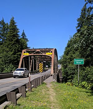
The Calawah River drains an area of about 129 square miles (330 km2) (334 km²) before it reaches U.S. Highway 101. This highway crosses the river about 6.6 miles (10.6 km) (10.6 km) from where the Calawah River joins the Bogachiel River. The river's flow changes throughout the year, from very low to very high depending on the season and rainfall.
 | Tommie Smith |
 | Simone Manuel |
 | Shani Davis |
 | Simone Biles |
 | Alice Coachman |


