Cape St. John facts for kids
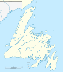
Cape St. John is a piece of land that sticks out into the ocean. It is found on the northern coast of Newfoundland, which is part of the Canadian province of Newfoundland and Labrador.
Contents
About Cape St. John
Cape St. John marks the northeastern tip of the Baie Verte Peninsula. It has a tall, noticeable peak with steep cliffs. These cliffs are reddish and rise about 74 meters (243 feet) high. The closest town to Cape St. John is La Scie.
A Look at Its History
Cape St. John has played a part in the history of fishing rights in the area.
Fishing Rights and Treaties
Long ago, in 1793, a very important agreement called the Treaty of Versailles was signed. This treaty changed where French fishers could fish. It ended their rights in some areas and created new ones. The new fishing areas included the coast from Cape St. John all the way to Cape Ray.
Later, in 1894, this long stretch of coast was divided into eight sections. Each section had a special officer called a fishery warden. Their job was to help manage the fishing activities.
In 1904, another agreement, the Entente Cordiale, was signed. This agreement gave control of the land and waters known as the French Shore back to the government of Newfoundland.
The Gull Island Lighthouse
In 1867, a ship called the Queen of Swansea ran aground near Gull Island. Because of this, the Newfoundland government decided to build a lighthouse to help guide ships. In 1884, the Gull Island-Cape St. John lighthouse was built on the highest point of Gull Island. Lighthouses are very important for keeping ships safe at sea.


