Caracas Islands facts for kids

Caracas Islands
|
|
| Geography | |
|---|---|
| Location | Caribbean Sea |
| Coordinates | 10°15′41″N 64°28′48″W / 10.26139°N 64.48000°W |
| Major islands | Caracas del Este Caracas del Oeste |
| Administration | |
| Anzoátegui | |
| Demographics | |
| Population | 0 |
The Islas Caracas are a group of two islands in the Caribbean Sea. These islands belong to Venezuela. They are located in the eastern part of Sucre state.
The islands are found north of the Santa Fe peninsula. They are west of the Manaure peninsula and Venado island. To their east is the island of Picúa Grande. Since December 19, 1973, the Islas Caracas have been part of the Mochima National Park.
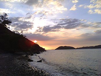
These islands do not have any people living on them. They feature dry landscapes with special plants that can live in dry places. You can also find interesting rocky coral formations there.
Contents
What are the Caracas Islands?
The Caracas Islands are made up of two main islands:
- Eastern Caracas (Caracas del Este)
- Western Caracas (Caracas del Oeste)
Where are the islands located?
The Islas Caracas are in the Caribbean Sea. They are part of Mochima National Park. This park is famous for its beautiful beaches and marine life. The islands are a protected area. This helps keep their natural beauty safe.
Nature on the islands
Even though no one lives on the islands, they are full of nature. The plants there are called xerophytic vegetation. This means they are good at living in dry places. They do not need much water.
You can also see many rocky coral formations. These are created by tiny sea animals called polyps. Over time, their hard skeletons build up. They form amazing underwater structures.
Gallery
See also
 In Spanish: Islas Caracas para niños
- Geography of Venezuela
 | Kyle Baker |
 | Joseph Yoakum |
 | Laura Wheeler Waring |
 | Henry Ossawa Tanner |


