Central Stickney, Illinois facts for kids
Quick facts for kids
Central Stickney, Illinois
|
|
|---|---|

Boundary of Central Stickney, Illinois, just southwest of Chicago
|
|
| Country | United States |
| State | Illinois |
| County | Cook |
| Township | Stickney |
| Elevation | 722 ft (220 m) |
| Time zone | UTC-6 (Central (CST)) |
| • Summer (DST) | UTC-5 (CDT) |
| ZIP code |
60638 (Chicago)
|
| Area code(s) | 708 |
Central Stickney is a small place in Cook County, Illinois. It is called an unincorporated community. This means it is not officially a city or town with its own local government. Instead, it is part of a larger area called Stickney Township.
Central Stickney is located very close to Midway International Airport. It is about half a mile north of the airport. The area is bordered by I-55 to the north and 51st Street to the south. It also has neighbors like the village of Forest View and parts of Chicago.
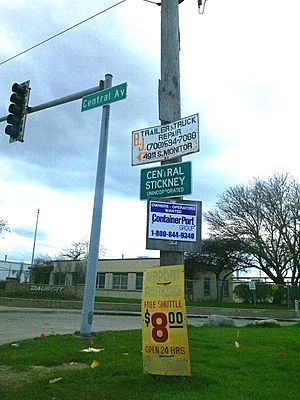
This community has both homes and businesses. There is a neighborhood with houses and a business park. You can also find several small shops along Central Avenue. Local services like fire protection and parks are managed by special districts. Central Stickney has tried to become its own town for many years. However, it might become part of the City of Chicago instead.
Learning in Central Stickney
Kids in Central Stickney go to school right in their community.
Elementary and Middle School
The only public school in Central Stickney is Charles J. Sahs Elementary School. This school teaches students from kindergarten all the way up to 8th grade. It is the only school in the Central Stickney School District 110.
High School and College
After 8th grade, students attend Reavis High School. This high school is located in Burbank, which is about four miles south of Central Stickney.
For students who want to continue their education after high school, Central Stickney is part of the Moraine Valley Community College District 524. This means students can attend Moraine Valley Community College.
 | Selma Burke |
 | Pauline Powell Burns |
 | Frederick J. Brown |
 | Robert Blackburn |


