Champvallon facts for kids
Quick facts for kids
Champvallon
|
||
|---|---|---|
|
Part of Montholon
|
||
 |
||
|
||
| Country | France | |
| Region | Bourgogne-Franche-Comté | |
| Department | Yonne | |
| Arrondissement | Auxerre | |
| Canton | Charny | |
| Commune | Montholon | |
| Area
1
|
6.83 km2 (2.64 sq mi) | |
| Population
(2017)
|
643 | |
| • Density | 94.14/km2 (243.8/sq mi) | |
| Time zone | UTC+01:00 (CET) | |
| • Summer (DST) | UTC+02:00 (CEST) | |
| Postal code |
89710
|
|
| Elevation | 85–217 m (279–712 ft) | |
| 1 French Land Register data, which excludes lakes, ponds, glaciers > 1 km2 (0.386 sq mi or 247 acres) and river estuaries. | ||
Champvallon was a small village, or commune, located in the central part of France. It was part of the Yonne department, which is like a county or region in France.
On January 1, 2017, Champvallon joined with other nearby villages to form a new, larger commune called Montholon. This means Champvallon is now a "former commune."
Contents
What is a Commune?
In France, a commune is the smallest unit of local government. Think of it like a town or a small city. Each commune has its own mayor and local council. They manage things like schools, roads, and local services.
Why Communes Merge
Sometimes, smaller communes decide to merge together. This can happen for several reasons:
- To share resources and services more easily.
- To have a stronger voice in regional decisions.
- To save money by combining administrative tasks.
When Champvallon merged into Montholon, it became part of a bigger community.
Where was Champvallon Located?
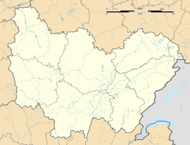
Champvallon was situated in the Yonne department. This area is known for its beautiful countryside and historical sites. The Yonne department is in the Bourgogne-Franche-Comté region of central France.
Geographical Details
The village of Champvallon was located at specific coordinates:
- Its latitude was about 47.9353 degrees North.
- Its longitude was about 3.3461 degrees East.
This means it was in a rural area, not far from the city of Auxerre.
Elevation and Size
Champvallon had varying elevations, from 85 meters (about 279 feet) at its lowest point to 217 meters (about 712 feet) at its highest. The total area of the commune was about 6.83 square kilometers (about 2.64 square miles). This is a relatively small area.
Population of Champvallon
Before it merged, Champvallon was a small community. In 2017, its population was recorded as 643 people. This makes it a quiet, close-knit place.
Life in a Small French Village
Life in a small French commune like Champvallon often involves:
- A strong sense of community.
- Local markets and small shops.
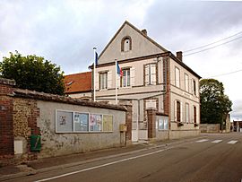
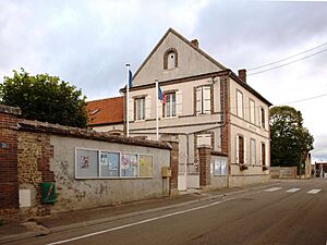
- Beautiful old buildings, like the town hall.
See also
 In Spanish: Champvallon para niños
 | James Van Der Zee |
 | Alma Thomas |
 | Ellis Wilson |
 | Margaret Taylor-Burroughs |


