Chapakot Municipality facts for kids
Quick facts for kids
Chapakot
चापाकोट
|
|
|---|---|
|
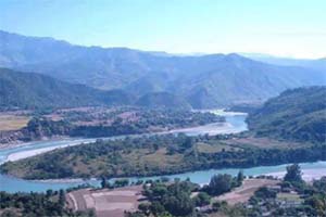
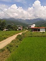
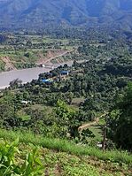
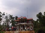
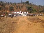
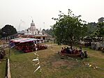
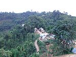
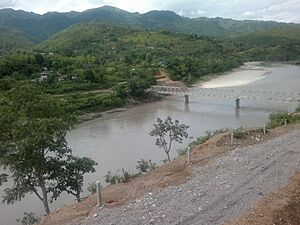
From Top left to right
Gandaki River, Keladighat, Radio Chapakot, Majuwa, Radhadamodar Sanskrit Vidyapeeth, Keladighat Temple, Patsar & Keladighat bridge |
|
| Country | |
| Province | Gandaki Province |
| District | Syangja District |
| Area | |
| • Total | 120.59 km2 (46.56 sq mi) |
| Population
(2011 Nepal census)
|
|
| • Total | 26,042 |
| • Density | 215.955/km2 (559.32/sq mi) |
| Time zone | UTC+5:45 (NST) |
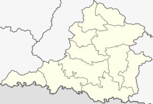
Chapakot (Nepali: चापाकोट) is a town in central Nepal. It's located in the southeastern part of the Syangja District. This district is part of the Gandaki Province.
Chapakot became a municipality (a type of local government area) on May 18, 2014. This happened when three villages joined together. These villages were Ratnapur, Kuwakot, and the original Chapakot.
Later, on March 12, 2017, the government changed how local areas were organized. Many village development committees (VDCs) were replaced. Chapakot Municipality then grew even more. It merged with other VDCs and parts of others. The main office for the municipality is still in the old Chapakot area.
Population in Chapakot
In 2011, a census (a count of people) was done in Nepal. At that time, the original Chapakot village had 4,702 people. They lived in 1,087 homes.
When Ratnapur and Kuwakot joined Chapakot, the population grew. It reached 12,742 people living in 2,902 homes. Today, about 26,042 people live in Chapakot. The municipality covers an area of 120.59 square kilometers.
Chapakot is mostly a flat area. It is surrounded by hills. To the east, you'll find Tanahun. To the west is Galyang. The Kali Gandaki River forms its southern border. This river separates Chapakot from Palpa District. To the north, you can find Waling, Biruwa, and Harinas.
Chapakot's Climate
Chapakot has a varied climate throughout the year. The weather box below shows the average temperatures and rainfall. It helps us understand the typical weather conditions in this area.
| Climate data for Chapakot, elevation 400 m (1,300 ft) | |||||||||||||
|---|---|---|---|---|---|---|---|---|---|---|---|---|---|
| Month | Jan | Feb | Mar | Apr | May | Jun | Jul | Aug | Sep | Oct | Nov | Dec | Year |
| Mean daily maximum °C (°F) | 21.1 (70.0) |
23.9 (75.0) |
28.8 (83.8) |
33.9 (93.0) |
34.5 (94.1) |
33.5 (92.3) |
31.3 (88.3) |
31.2 (88.2) |
30.7 (87.3) |
29.7 (85.5) |
26.2 (79.2) |
22.3 (72.1) |
28.9 (84.1) |
| Mean daily minimum °C (°F) | 8.8 (47.8) |
10.1 (50.2) |
14.3 (57.7) |
19.4 (66.9) |
22.0 (71.6) |
23.7 (74.7) |
23.8 (74.8) |
23.6 (74.5) |
22.5 (72.5) |
19.6 (67.3) |
13.2 (55.8) |
9.1 (48.4) |
17.5 (63.5) |
| Average precipitation mm (inches) | 23.2 (0.91) |
24.4 (0.96) |
33.8 (1.33) |
57.3 (2.26) |
140.7 (5.54) |
332.7 (13.10) |
520.3 (20.48) |
377.7 (14.87) |
236.7 (9.32) |
68.1 (2.68) |
7.2 (0.28) |
14.7 (0.58) |
1,836.8 (72.31) |
| Source 1: Australian National University | |||||||||||||
| Source 2: Japan International Cooperation Agency (precipitation) | |||||||||||||
 | May Edward Chinn |
 | Rebecca Cole |
 | Alexa Canady |
 | Dorothy Lavinia Brown |


