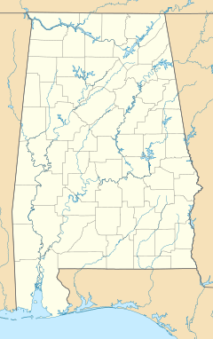
Choctaw Corner, Alabama facts for kids
Quick facts for kids
Choctaw Corner, Alabama
|
|
|---|---|
| Country | United States |
| State | Alabama |
| County | Clarke |
| Elevation | 377 ft (115 m) |
| Time zone | UTC-6 (Central (CST)) |
| • Summer (DST) | UTC-5 (CDT) |
Choctaw Corner was once a small town in Clarke County, Alabama, United States. It is now known as a ghost town. The town got its name from a nearby spot that marked the old border. This border was between the lands of the native Choctaw and Creek peoples. Choctaw Corner was one of the very first settlements in Clarke County.
The Rise and Fall of Choctaw Corner
Choctaw Corner was a busy place in the mid-1800s. It even had its own post office by 1850. The community grew and did well for many years. It was a prosperous town during the time before the American Civil War, known as the antebellum period.
Why Choctaw Corner Disappeared
Things started to change for Choctaw Corner in 1888. A new railroad line was built from Mobile to Selma. This railroad passed less than 2 miles (3.2 km) southeast of Choctaw Corner.
A brand new town, Thomasville, began to grow right along the railroad tracks. People in Choctaw Corner saw that Thomasville would be a great place for shipping goods by train. Many families decided to move from Choctaw Corner to the new town.
As people left, Choctaw Corner slowly became empty. It eventually disappeared and is now part of Thomasville. Today, the main reminder of the old town is the Choctaw Corner Cemetery. This cemetery is located on the western edge of Thomasville.
| Historical population | |||
|---|---|---|---|
| Census | Pop. | %± | |
| 1850 | 250 | — | |
| 1880 | 150 | — | |
| U.S. Decennial Census | |||
Where Was Choctaw Corner?
Choctaw Corner was located at about 31.93487 degrees north latitude and 87.75472 degrees west longitude. It was about 377 feet (115 meters) above sea level.
 | DeHart Hubbard |
 | Wilma Rudolph |
 | Jesse Owens |
 | Jackie Joyner-Kersee |
 | Major Taylor |


