Clarence Island, Chile facts for kids
|
Native name:
Isla Clarence
|
|
|---|---|
| Geography | |
| Coordinates | 54°10′S 71°50′W / 54.167°S 71.833°W |
| Archipelago | Tierra del Fuego |
| Adjacent bodies of water | Pacific ocean |
| Area | 1,111 km2 (429 sq mi) |
| Administration | |
| Region | Magallanes Region |
| Province | Magallanes Province |
| Communes of Chile | Punta Arenas |
| Demographics | |
| Population | 5 ([1]) |
| Additional information | |
| NGA UFI -877469 | |
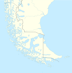
Clarence Island (which is Isla Clarence in Spanish) is an island found in the Magallanes Region of Chile. It is part of the Tierra del Fuego group of islands. The island belongs to the municipality of Punta Arenas. You can find it just south of the Brunswick Peninsula. This is on the south side of a waterway called Froward Reach.
About Clarence Island
Clarence Island is a pretty big island. It covers an area of about 1,111 square kilometers. That's like a square about 33 kilometers (or 20 miles) on each side!
The island stretches from the Magdalena Channel and Cockburn Channel all the way to the Bárbara Channel. Its northern coast has many deep inlets. These are like long, narrow bays that reach far into the island.
Who Lives on Clarence Island?
Even though Clarence Island is quite large, not many people live there. According to information from 2001, only 5 people call this island home. This makes it a very quiet and remote place.
See also
 In Spanish: Isla Clarence (Chile) para niños


