Clarendon Vale, Tasmania facts for kids
Quick facts for kids Clarendon ValeHobart, Tasmania |
|||||||||||||||
|---|---|---|---|---|---|---|---|---|---|---|---|---|---|---|---|
| Population | 1,267 (2016 census) | ||||||||||||||
| Postcode(s) | 7019 | ||||||||||||||
| Location | 10 km (6 mi) SE of Rosny Park | ||||||||||||||
| LGA(s) | City of Clarence | ||||||||||||||
| Region | Hobart | ||||||||||||||
| State electorate(s) | Franklin | ||||||||||||||
| Federal Division(s) | Franklin | ||||||||||||||
|
|||||||||||||||
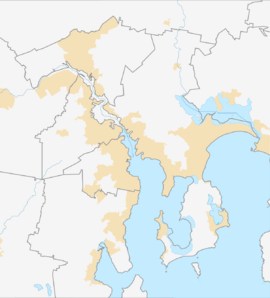
Clarendon Vale is a suburb in Hobart, Tasmania, Australia. It's located about 10 kilometers (about 6 miles) south-east of Rosny Park. In 2016, about 1267 people lived in Clarendon Vale. It's part of the Clarence area.
A Look Back at Clarendon Vale's History
Clarendon Vale officially became a recognized place in 1977.
Like its neighbor Rokeby, Clarendon Vale was first developed in the 1970s. Many homes built here were originally public housing. Public housing means homes owned by the government and rented to people. Over time, many of these public housing homes have been sold to private owners. This is a common trend in many areas around Hobart.
Understanding Clarendon Vale's Geography
The Clarence Plains Rivulet forms the south-western edge of Clarendon Vale. A rivulet is a small stream or river. This natural feature helps define the suburb's boundary.
Getting Around: Roads in Clarendon Vale
Route B33, also known as Rokeby Road and South Arm Road, runs along the south-west side of Clarendon Vale. From this main road, Mockridge Road provides access into the suburb. These roads help people travel to and from Clarendon Vale.
 | Jessica Watkins |
 | Robert Henry Lawrence Jr. |
 | Mae Jemison |
 | Sian Proctor |
 | Guion Bluford |


