Coalhurst facts for kids
Quick facts for kids
Coalhurst
|
|
|---|---|
|
Town
|
|
| Town of Coalhurst | |
| Country | Canada |
| Province | Alberta |
| Region | Southern Alberta |
| Census division | 2 |
| Municipal district | Lethbridge County |
| Incorporated | |
| • Village | December 17, 1913 |
| • Dissolution | December 31, 1936 |
| • Village | January 15, 1979 |
| • Town | June 1, 1995 |
| Area
(2021)
|
|
| • Land | 3.08 km2 (1.19 sq mi) |
| Population
(2021)
|
|
| • Total | 2,869 |
| • Density | 931.3/km2 (2,412/sq mi) |
| Time zone | UTC−7 (MST) |
| • Summer (DST) | UTC−6 (MDT) |
| Highways | Highway 3 Highway 25 |
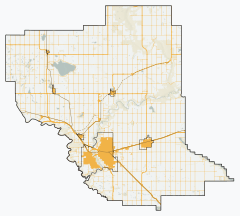
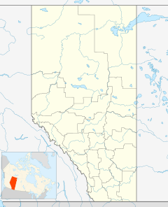
Coalhurst is a town in southern Alberta, Canada. It was first called Bridgend. The town is located on Highway 3. It is about 15 km (9.3 mi) northwest of Lethbridge. Coalhurst used to be a community known for coal mining.
Around 1930, a large fire happened in Coalhurst. It caused about $35,000 in damage. Luckily, no one was hurt in the fire.
About Coalhurst
Coalhurst is a small town with an interesting history. It started as a village on December 17, 1913. Later, it stopped being a village on December 31, 1936. But it became a village again on January 15, 1979. Finally, Coalhurst became a town on June 1, 1995.
The town is led by a mayor and the Coalhurst Town Council. The current mayor is Dennis Cassie.
Population Growth
The number of people living in Coalhurst has changed a lot over the years. Here's a quick look at how the population has grown:
- In 1936, about 774 people lived here.
- By 1981, the population was 881.
- In 1991, it grew to 1,322 people.
- By 2011, the population reached 1,978.
- In 2016, there were 2,668 people living in Coalhurst.
- The most recent count in 2021 showed 2,869 people.
This means Coalhurst has been growing steadily. For example, between 2016 and 2021, the population increased by about 7.5%. The town covers a land area of about 3.08 km2 (1.19 sq mi).


