Corbin, Kansas facts for kids
Quick facts for kids
Corbin, Kansas
|
|
|---|---|

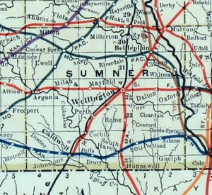
1915 Railroad Map of Sumner County
|
|

|
|
| Country | United States |
| State | Kansas |
| County | Sumner |
| Elevation | 1,158 ft (353 m) |
| Time zone | UTC-6 (CST) |
| • Summer (DST) | UTC-5 (CDT) |
| Area code | 620 |
| FIPS code | 20-15575 |
| GNIS ID | 470307 |
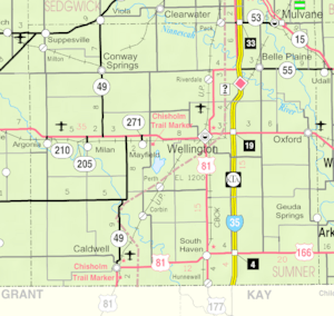
Corbin is a small, unincorporated community in Sumner County, Kansas, in the United States. This means it's a group of homes and businesses that isn't officially a town or city with its own local government. You can find Corbin about 6.5 miles northeast of Caldwell, close to where S Mayfield Road and W 110th Street South meet, right next to a railroad track.
History of Corbin
Railroads in Corbin
Corbin's history is closely tied to the railroad. In 1887, a company called the Chicago, Kansas and Nebraska Railway built a train line. This line went north and south, passing through Corbin on its way from Herington to Caldwell.
Over the years, the railroad changed owners many times.
- In 1891, the line was taken over by the Chicago, Rock Island and Pacific Railway.
- This company later shut down in 1980.
- It then became the Oklahoma, Kansas and Texas Railroad.
- In 1988, it merged with the Missouri Pacific Railroad.
- Finally, in 1997, it merged with the Union Pacific Railroad.
Even with all these changes, many people who live nearby still call it the "Rock Island" railroad.
Post Office and School
Corbin used to have its own post office. It opened on February 6, 1884. However, it closed down on February 16, 1975.
A historic building near Corbin is the Spring Creek School. This school is very important because it is listed on the National Register of Historic Places. This means it's recognized for its historical value.
Education
Students living in the Corbin community attend public schools through the Caldwell USD 360 school district.
 | Leon Lynch |
 | Milton P. Webster |
 | Ferdinand Smith |


