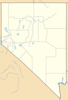
Dry Valley, Nevada facts for kids
Quick facts for kids
Dry Valley, Nevada
|
|
|---|---|
| Country | United States |
| State | Nevada |
| County | Lincoln |
| Area | |
| • Total | 3.79 sq mi (9.80 km2) |
| • Land | 3.79 sq mi (9.80 km2) |
| • Water | 0.00 sq mi (0.00 km2) |
| Elevation | 5,154 ft (1,571 m) |
| Population
(2020)
|
|
| • Total | 49 |
| • Density | 12.95/sq mi (5.00/km2) |
| Time zone | UTC-8 (Pacific (PST)) |
| • Summer (DST) | UTC-7 (PDT) |
| FIPS code | 32-19800 |
Dry Valley is a small community located in Lincoln County, Nevada, in the United States. It is known as a "census-designated place" (CDP). This means it is an area that the government counts for population and statistics, but it is not an officially organized city or town with its own local government. According to the 2020 census, 49 people lived in Dry Valley.
Where is Dry Valley Located?
The community of Dry Valley is found in a flat area that is also called Dry Valley. A stream named Meadow Valley Wash flows through this area. This stream then leaves the valley through a place called Condor Canyon.
Dry Valley is about 9 miles (14 km) east of a town called Pioche. You can get there by taking Echo Dam Road. This road continues another 3 miles (5 km) east to Echo Canyon State Park, which is a popular outdoor spot.
The U.S. Census Bureau says that the Dry Valley CDP covers an area of about 3.79 square miles (9.8 square kilometers). All of this area is land, with no water.
Who Lives in Dry Valley?
In 2020, the population of Dry Valley was 49 people. This information comes from the official census, which counts everyone living in the United States every ten years.
Here's a look at the different groups of people living there:
- 41 people were white.
- One person was Native American or Alaska Native.
- Two people were of another race.
- Five people were of two or more races.
| Historical population | |||
|---|---|---|---|
| Census | Pop. | %± | |
| 2020 | 49 | — | |
| U.S. Decennial Census | |||
See also
 In Spanish: Dry Valley (Nevada) para niños
 | William M. Jackson |
 | Juan E. Gilbert |
 | Neil deGrasse Tyson |


