Eugene, Indiana facts for kids
Quick facts for kids
Eugene, Indiana
|
|
|---|---|

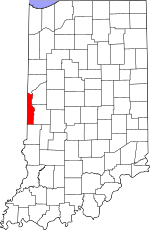
Vermillion County's location in Indiana
|
|
| Country | United States |
| State | Indiana |
| County | Vermillion |
| Township | Eugene |
| Established | 1827 |
| Elevation | 509 ft (155 m) |
| Time zone | UTC-5 (Eastern (EST)) |
| • Summer (DST) | UTC-4 (EDT) |
| ZIP code |
47928
|
| Area code(s) | 765 |
| GNIS feature ID | 434244 |
Eugene is a small, unincorporated community in Eugene Township, Vermillion County, in the state of Indiana. Being "unincorporated" means it's a place where people live, but it doesn't have its own local government like a city or town.
Contents
History of Eugene
When Eugene Was Founded
The community of Eugene was officially started in 1827. This is when its first streets and lots were planned out. No one knows for sure how Eugene got its name.
Eugene's Post Office
A post office was opened in Eugene in 1826, even before the town was formally planned. This post office served the community for many years. It stayed open until 1954.
Poetry from Eugene
A writer named Alice Craig Fuller grew up in Eugene. She wrote several poems about her hometown. These poems were collected in a book called Lantern Gleams from Old Eugene.
Geography of Eugene
Where is Eugene Located?
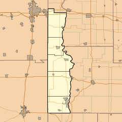
Eugene is located at coordinates 39°57′59″N 87°28′22″W / 39.96639°N 87.47278°W. This means it's in a specific spot on the Earth's surface. It is just north of a larger town called Cayuga.
Rivers Near Eugene
The Vermilion River flows around Eugene. It goes along the north and east sides of the community. This river then joins the larger Wabash River less than two miles to the east.
 | James B. Knighten |
 | Azellia White |
 | Willa Brown |


