False Cape State Park facts for kids
Quick facts for kids False Cape State Park |
|
|---|---|
|
IUCN Category IV (Habitat/Species Management Area)
|
|
 |
|
| Location | Virginia, United States |
| Nearest city | Virginia Beach, VA |
| Area | 4,321 acres (17.49 km2) |
| Established | 1966 |
| Governing body | Virginia Department of Conservation and Recreation |
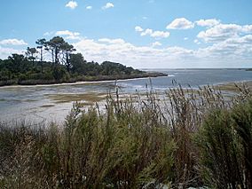
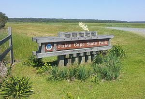
False Cape State Park is a large park in Virginia, United States. It covers about 4,321 acres (17.49 km2). This park is located on a narrow strip of land called the Currituck Banks Peninsula. This land is about 1 mile (1.6 km) wide. It sits between the Back Bay of the Currituck Sound and the Atlantic Ocean. The park is part of Virginia Beach, right next to the border with North Carolina. It is just north of the Mackay Island National Wildlife Refuge.
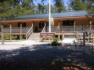
False Cape State Park offers many fun activities. You can explore its hiking and biking trails. There is also a visitors' center where you can learn more. The park has places for environmental education and simple camping. You can reach the park from the north by walking, biking, or taking a special tram that runs in certain seasons. This tram goes through Back Bay National Wildlife Refuge. From the south, you can walk or bike in. You can also get to the park by boat from any shoreline. A few people with special permits can still drive on the beach.
Contents
History of False Cape State Park
Why is it Called False Cape?
The park gets its name, False Cape, because it could easily be confused with Cape Henry when seen from the ocean. Cape Henry is about 20 miles (32 km) north, at the mouth of the Chesapeake Bay. Ships looking for Cape Henry sometimes sailed into the shallow waters of False Cape by mistake. This could cause their ships to get stuck in the sand.
The Abandoned Village of Wash Woods
A long time ago, in the 1600s or early 1700s, a village called Wash Woods was formed. It was started by people who survived a shipwreck in the area. The church and other buildings in the village were made from cypress wood. This wood had washed ashore from another shipwreck. Today, Wash Woods is an abandoned community.
False Cape as a Hunting Spot
In the early 1900s, False Cape was a popular place for hunt clubs. Many waterfowl (birds like ducks and geese) lived in the area, making it a great spot for hunting. The park's Wash Woods Environmental Education Center used to be one of these hunt clubhouses.
Protecting the Natural Beauty
In 2002, parts of the park that were still undeveloped became the False Cape Natural Area Preserve. This was done to protect the natural environment and wildlife.
The State Border Marker
At the very south end of False Cape, you can find a special monument. It has "Va." on one side for Virginia and "N Ca" on the other for North Carolina. The top of the monument says "A.D. 1728." This refers to the year the border between the two states was first surveyed. However, the monument itself was likely put in place in 1887. That's when the border was surveyed again, as the first marker was just a simple cedar post.
Images for kids
 | Aurelia Browder |
 | Nannie Helen Burroughs |
 | Michelle Alexander |


