Felt, Idaho facts for kids
Quick facts for kids
Felt, Idaho
|
|
|---|---|
| Country | United States |
| State | Idaho |
| County | Teton |
| Elevation | 6,037 ft (1,840 m) |
| Time zone | UTC-7 (Mountain (MST)) |
| • Summer (DST) | UTC-6 (MDT) |
| ZIP code |
83424
|
| Area code(s) | 208, 986 |
| GNIS feature ID | 397700 |
Felt is a small place in Teton County, Idaho, in the United States. It is known as an unincorporated community. This means it's a group of homes and people, but it doesn't have its own official town government.
Contents
Where is Felt, Idaho?
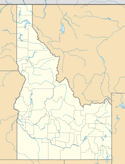
Felt is located in the eastern part of Idaho. You can find it about 4 miles (6.4 km) north-northeast of another community called Tetonia. It sits right along Idaho State Highway 32, which is a main road in the area.
What is the Elevation of Felt?
Felt is quite high up! Its elevation is 6,037 feet (1,840 meters) above sea level. This means it's located in a mountainous region.
Does Felt have a Post Office?
Felt used to have its own post office, but it doesn't anymore. However, it still has a special number called a ZIP code, which is 83424. This code helps mail get to the right place.
A Glimpse into Felt's History
Felt has always been a small community. In 1960, the population of Felt was recorded as just 20 people. This shows that it has remained a quiet and close-knit area over the years.
 | Percy Lavon Julian |
 | Katherine Johnson |
 | George Washington Carver |
 | Annie Easley |


