Garwood, Idaho facts for kids
Quick facts for kids
Garwood, Idaho
|
|
|---|---|
| Country | United States |
| State | Idaho |
| County | Kootenai |
| Elevation | 2,146 ft (654 m) |
| Time zone | UTC-8 (Pacific (PST)) |
| • Summer (DST) | UTC-7 (PDT) |
| Area code(s) | 208, 986 |
| GNIS feature ID | 396533 |
Garwood is a small, unincorporated community located in northern Kootenai County, Idaho, in the United States. An unincorporated community means it's a place with a shared identity but without its own local government.
Where is Garwood?
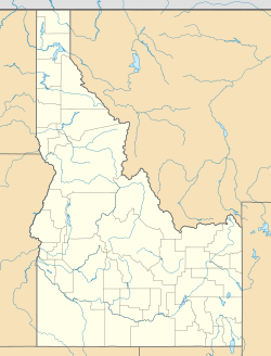
Garwood is found in the northwestern part of Kootenai County. It is about 11 miles (18 km) north of a larger city called Coeur d'Alene. This makes it easy to visit both places.
Garwood's Early Days
Garwood got its name from the Ohio Match Company. This company made products from wood, like matches. The community officially started in the year 1905.
As Garwood grew, important transportation routes were built. US Highway 95 and a line of the Union Pacific Railroad were built right through the community. These routes helped people and goods travel easily. In 1924, another rail line was added, connecting Garwood to Burnt Cabin Creek.
Garwood had local businesses, too. One of them was the Ryan grocery store, which sadly burned down in 1913.
Population and School
Garwood was a small place from the start. In 1925, only 18 people lived there. By 1940, the population had grown a bit to 50 people.
Today, Garwood is home to the Garwood Elementary School. This school was built in 1991. Besides being a place for learning, it also serves as a local polling place where people can go to vote.
 | Delilah Pierce |
 | Gordon Parks |
 | Augusta Savage |
 | Charles Ethan Porter |


