Gilbert Spur facts for kids
Gilbert Spur is a ridge mostly covered in ice, located in the southern part of the Sentinel Range. This range is found within the Ellsworth Mountains in Antarctica. A "spur" is like a smaller ridge that extends from a larger mountain or range.
This icy ridge stretches about 3.9 kilometers (2.4 miles) from north to south and is 2.3 kilometers (1.4 miles) wide. It rises to a height of 1900 meters (6,234 feet) where the Bender Glacier and Nimitz Glacier meet.
Where is Gilbert Spur Located?
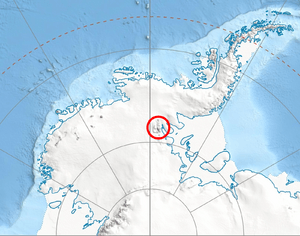
Gilbert Spur is located at 78°43′08″S 85°25′57″W / 78.71889°S 85.43250°W. It sits in a remote part of Antarctica, surrounded by other peaks and glaciers. For example, it is about 2.1 kilometers (1.3 miles) south of Chaplin Peak. It's also near Mount Strybing and Mount Liptak.
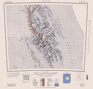
The area around Gilbert Spur was mapped by the United States in 1961 and again in 1988. These maps help scientists and explorers understand the landscape of this icy continent.
How Gilbert Spur Got Its Name
Gilbert Spur was named after Joseph Gilbert. He was a skilled navigator who lived from 1732 to 1821. Gilbert was the Master of a famous ship called HMS Resolution.
He sailed with Captain James Cook on an important exploration trip between 1772 and 1775. During this voyage, Joseph Gilbert and another artist named William Hodges created the very first paintings of the Antarctic region. These artworks helped people back home imagine what this distant, icy land looked like.
 | Stephanie Wilson |
 | Charles Bolden |
 | Ronald McNair |
 | Frederick D. Gregory |


