Gilpin, Nevada facts for kids
Quick facts for kids
Gilpin, Nevada
|
|
|---|---|
|
Unincorporated area
|
|
| Country | United States |
| State | Nevada |
| County | Storey |
| Elevation | 4,147 ft (1,264 m) |
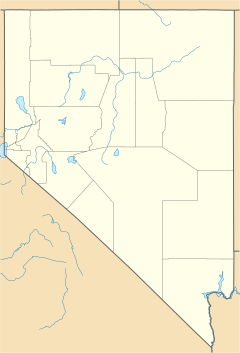
Gilpin was once a small railroad stop in Storey County, Nevada. It was located in the far northeastern part of the county. Today, it is no longer an active train stop.
Gilpin's Railroad Past
Gilpin was known as a "siding" for the Southern Pacific Railroad. A siding is like a short extra track where trains can wait or pass each other. This specific siding was located on the south side of the Truckee River. It was between two other places called Thisbe and Fernley. The railroad stopped using this siding in 1959.
Where Was Gilpin?
The exact location of Gilpin has changed over time. In the 1930s, the area known as Gilpin was actually on the north side of the Truckee River. This put it in Washoe County.
In 1905, a person named Captain Matt Barach tried to start a town there. He even planned a road to a place called Olinghouse. However, this road was never built.
Today, you can find the general area of Gilpin by taking the Painted Rock exit from Interstate 80. There is also a rest area on Interstate 80 nearby that is named Gilpin.


