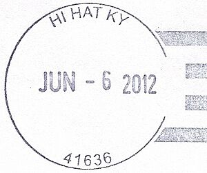
Hi Hat, Kentucky facts for kids
Quick facts for kids
Hi Hat, Kentucky
|
|
|---|---|
| Country | United States |
| State | Kentucky |
| County | Floyd |
| Elevation | 1,030 ft (310 m) |
| Time zone | UTC-5 (Eastern (EST)) |
| • Summer (DST) | UTC-4 (EDT) |
| ZIP codes |
41636
|
| GNIS feature ID | 494104 |
Hi Hat is a small, unincorporated community located in Floyd County, Kentucky, United States. An "unincorporated community" means it's a place where people live, but it doesn't have its own official local government like a city or town.
Hi Hat is also known as a former coal town. This means its history and growth were closely tied to the coal mining industry. Even today, Hi Hat still has its own post office, serving the local residents.
History of Hi Hat
Hi Hat wasn't always known by its current name. The community first got a post office in 1881. Back then, it was called Fed.
Many years later, in 1943, the community was renamed. It took its new name, Hi Hat, from a company called the Hi Hat Elkhorn Mining Company. This shows how important coal mining was to the area.
What is a Coal Town?
A coal town is a community that grew up around a coal mine. These towns were often built by mining companies to house their workers and their families. Everything in the town, from homes to stores, was usually connected to the mining operation.
Life in a coal town could be very busy when the mines were active. People worked hard, and the town's economy depended on the coal industry. When mines closed, many coal towns faced challenges, but some, like Hi Hat, continue to be home to communities.
Location and Geography
Hi Hat is located in the eastern part of Kentucky, in a region known for its mountains and valleys. This area is part of the Appalachian Mountains, which are rich in natural resources, including coal.
The community is situated in Floyd County. This county is known for its beautiful landscapes and its history of mining. Hi Hat's elevation is about 1,030 feet (314 meters) above sea level.
 | Lonnie Johnson |
 | Granville Woods |
 | Lewis Howard Latimer |
 | James West |


