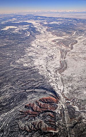
Hunters Point, Arizona facts for kids
Quick facts for kids
Hunters Point, Arizona
|
|
|---|---|
| Country | United States |
| State | Arizona |
| County | Apache |
| Elevation | 6,699 ft (2,042 m) |
| Time zone | UTC-7 (Mountain (MST)) |
| • Summer (DST) | UTC-6 (MDT) |
| Area code(s) | 928 |
| GNIS feature ID | 25266 |
Hunters Point is a small place in Apache County, Arizona, in the United States. It is called an unincorporated community. This means it's a group of homes and businesses that isn't officially a town or city with its own local government. Instead, it's part of the larger county.
Hunters Point is about 9 miles (14 km) south-southwest of a place called Window Rock.
Where is Hunters Point?
Hunters Point is located in a valley known as Black Creek Valley. A creek called Black Creek flows right next to it, heading south. This creek eventually joins the Puerco River, which flows to the southwest. The area is quite high up, with an elevation of 6,699 feet (about 2,042 meters) above sea level.
Nearby Places
The closest larger community to Hunters Point is Window Rock. These two places are connected by Indian Route 12. This road and Black Creek help link Hunters Point to other areas.

 | Jessica Watkins |
 | Robert Henry Lawrence Jr. |
 | Mae Jemison |
 | Sian Proctor |
 | Guion Bluford |


