
Image: British Virgin Islands location map

Size of this PNG preview of this SVG file: 570 × 599 pixels. Other resolution: 228 × 240 pixels.
Original image (SVG file, nominally 787 × 827 pixels, file size: 51 KB)
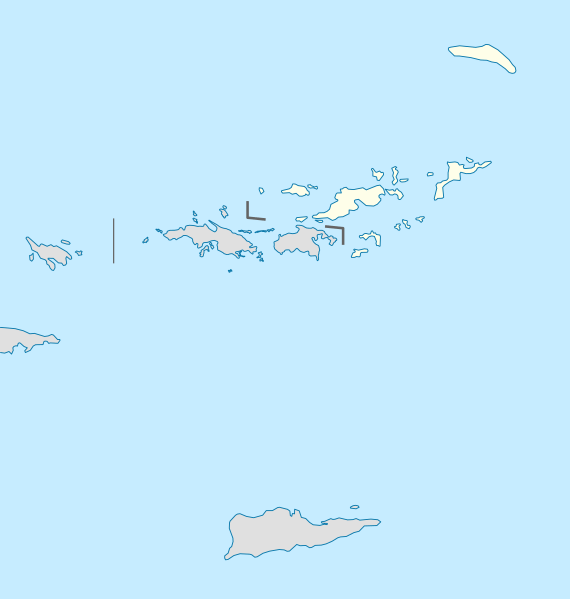
Description: Location map of the British Virgin Islands
Title: British Virgin Islands location map
Credit: own work, using United States National Imagery and Mapping Agency data U.S. Geological Survey (USGS) data
Author: NordNordWest
Usage Terms: Creative Commons Attribution-Share Alike 3.0
License: CC BY-SA 3.0
License Link: https://creativecommons.org/licenses/by-sa/3.0
Attribution Required?: Yes
Image usage
The following 16 pages link to this image:
- Anegada
- Beef Island
- Bellamy Cay
- Cooper Island (British Virgin Islands)
- Dead Chest Island, British Virgin Islands
- Frenchman's Cay
- Great Camanoe
- Jost Van Dyke
- Marina Cay
- Nanny Cay
- Norman Island
- Round Rock, British Virgin Islands
- Saba Rock
- Salt Island, British Virgin Islands
- Scrub Island (British Virgin Islands)
- Virgin Gorda

All content from Kiddle encyclopedia articles (including the article images and facts) can be freely used under Attribution-ShareAlike license, unless stated otherwise.